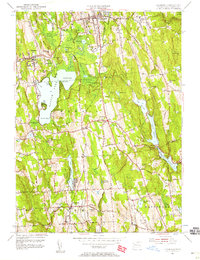
1956 Map of Litchfield
USGS Topo · Published 1958About this map
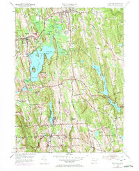
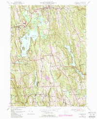
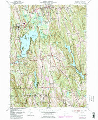
Bantam Lake dominates the central landscape of this Litchfield County survey, serving as a focal point for the surrounding towns of Morris and Litchfield. The map captures the mid-century infrastructure of the area, from the State Police Radio Tower atop Plumb Hill to the complex water management systems including Wigwam Reservoir and Morris Reservoir. The settlement pattern reflects a traditional New England layout, with clusters of development in Bantam and Bethlehem contrasting with the protected woodlands of the Mattatuck State Forest. Cultural landmarks like Camp Columbia and Wamogo High Sch are clearly marked, alongside numerous family-named peaks such as Guernsey Hill and Wheeler Hill. The detail extends to local utilities like the Sewage Disposal plant and several historic burying grounds including West Cem and East Cem.
Find a feature on this map
62 named features on this map. Tap any name to fly to it.
Don’t see what you’re looking for? This feature index may not catch every label — zoom into the map to look around manually.
Map Details
Editions of this 1956 Litchfield Map
7 editions found
Other maps of this area

1892 · Winsted
USGS Topo · 1:62,500

1892 · Cornwall
USGS Topo · 1:62,500

1892 · New Milford
USGS Topo · 1:62,500

1893 · Waterbury
USGS Topo · 1:62,500

1893 · New Milford
USGS Topo · 1:62,500

1893 · Cornwall
USGS Topo · 1:62,500

1903 · Cornwall
USGS Topo · 1:62,500

1904 · New Milford
USGS Topo · 1:62,500

1904 · Waterbury
USGS Topo · 1:62,500

1904 · Litchfield
USGS Topo · 1:125,000