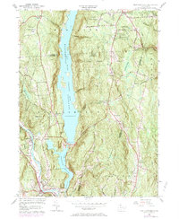
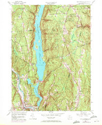
1956 Map of New Hartford
USGS Topo · Published 1984About this map
Barkhamsted Reservoir dominates the Litchfield and Hartford county border, its deep waters held by the Saville Dam and flanked by the expansive Peoples State Forest and Tunxis State Forest. The settlement patterns here reveal a transition from early upland villages like Barkhamsted Center and East Hartland to the industrialized valley corridor where the Farmington River flows through New Hartford and Pine Meadow. Evidence of mid-century recreation and land use appears in the Drive-in Theater near the Compensating Reservoir and the network of roads such as Washington Hill Road. Genealogists will find several burial grounds documented, including the Barkhamsted Cem and Riverside Cem, alongside landmarks like the Washington Hill Ch and the curious Indian Council Caves.
Find a feature on this map
60 named features on this map. Tap any name to fly to it.
Don’t see what you’re looking for? This feature index may not catch every label — zoom into the map to look around manually.
Map Details
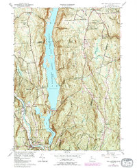
Editions of this 1956 New Hartford Map
6 editions found
Other maps of this area

1887 · Granville
USGS Topo · 1:62,500

1888 · Sandisfield
USGS Topo · 1:62,500

1889 · Granville
USGS Topo · 1:62,500

1892 · Winsted
USGS Topo · 1:62,500

1892 · Granby
USGS Topo · 1:62,500

1893 · Granville
USGS Topo · 1:62,500

1893 · Sandisfield
USGS Topo · 1:62,500

1895 · Granville
USGS Topo · 1:62,500

1896 · Holyoke
USGS Topo · 1:125,000

1897 · Sandisfield
USGS Topo · 1:62,500