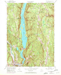
1956 Map of New Hartford
USGS Topo · Published 1972About this map
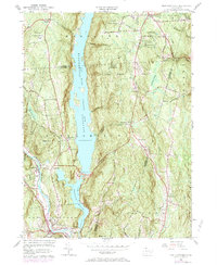
Saville Dam dominates the central landscape of this Litchfield County survey, holding back the massive Barkhamsted Reservoir which stretches northward through the heart of the region. The map captures a transition period in the early 1970s, where traditional rural settlements like Barkhamsted Center and East Hartland remain centered around their historic institutions, such as the Washington Hill Ch and the Barkhamsted Cem. To the south, the village of New Hartford and the nearby Pine Meadow settlement sit at the junction of the West Branch Farmington River, showing the importance of these valley corridors for local transit and habitation.
Find a feature on this map
56 named features on this map. Tap any name to fly to it.
Don’t see what you’re looking for? This feature index may not catch every label — zoom into the map to look around manually.
Map Details
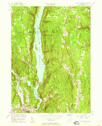
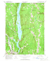
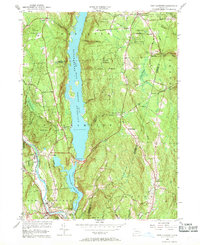
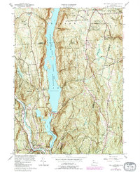
Editions of this 1956 New Hartford Map
6 editions found
Other maps of this area

1887 · Granville
USGS Topo · 1:62,500

1888 · Sandisfield
USGS Topo · 1:62,500

1889 · Granville
USGS Topo · 1:62,500

1892 · Winsted
USGS Topo · 1:62,500

1892 · Granby
USGS Topo · 1:62,500

1893 · Granville
USGS Topo · 1:62,500

1893 · Sandisfield
USGS Topo · 1:62,500

1895 · Granville
USGS Topo · 1:62,500

1896 · Holyoke
USGS Topo · 1:125,000

1897 · Sandisfield
USGS Topo · 1:62,500