
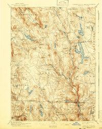
1897 Map of Sandisfield
USGS Topo · Published 1897About this map
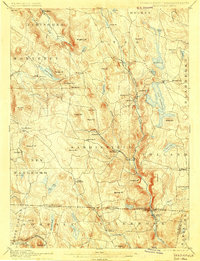
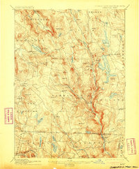
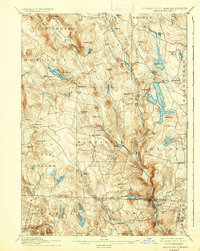
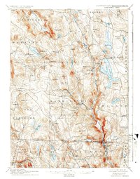
Sandisfield and the surrounding Berkshire highlands are defined by a complex network of waterways and hills in the late nineteenth century. The West Branch of the Farmington River carves a deep valley through the eastern portion of the sheet, where industry and community concentrated at New Boston and West New Boston. Further west, the Clam River passes through Montville, while high-elevation water bodies like Otis Reservoir and Lake Garfield punctuate the upland terrain.
Find a feature on this map
85 named features on this map. Tap any name to fly to it.
Don’t see what you’re looking for? This feature index may not catch every label — zoom into the map to look around manually.
Map Details
Editions of this 1897 Sandisfield Map
7 editions found
Other maps of this area

1885 · Sheffield
USGS Topo · 1:62,500

1886 · Chesterfield
USGS Topo · 1:62,500

1886 · Becket
USGS Topo · 1:62,500

1887 · Granville
USGS Topo · 1:62,500

1888 · Sheffield
USGS Topo · 1:62,500

1888 · Becket
USGS Topo · 1:62,500

1888 · Sandisfield
USGS Topo · 1:62,500

1888 · Chesterfield
USGS Topo · 1:62,500

1888 · Pittsfield
USGS Topo · 1:62,500

1889 · Granville
USGS Topo · 1:62,500