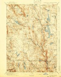
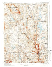
1897 Map of Sandisfield
USGS Topo · Published 1943About this map
The Farmington River and its West Branch carve a deep north-south corridor through this high-country borderland between Massachusetts and Connecticut. Recorded by W.H. Lovell and Willard D. Johnson, the landscape is defined by its numerous small hamlets and significant water bodies. Local centers such as Sandisfield, New Boston, and Monterey are connected by a network of early roads, including Larkin Road near the massive Otis Reservoir.
Find a feature on this map
78 named features on this map. Tap any name to fly to it.
Don’t see what you’re looking for? This feature index may not catch every label — zoom into the map to look around manually.
Map Details
Editions of this 1897 Sandisfield Map
7 editions found

Other maps of this area

1885 · Sheffield
USGS Topo · 1:62,500

1886 · Chesterfield
USGS Topo · 1:62,500

1886 · Becket
USGS Topo · 1:62,500

1887 · Granville
USGS Topo · 1:62,500

1888 · Sheffield
USGS Topo · 1:62,500

1888 · Becket
USGS Topo · 1:62,500

1888 · Sandisfield
USGS Topo · 1:62,500

1888 · Chesterfield
USGS Topo · 1:62,500

1888 · Pittsfield
USGS Topo · 1:62,500

1889 · Granville
USGS Topo · 1:62,500