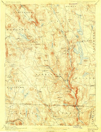
1897 Map of Sandisfield
USGS Topo · Published 1901About this map
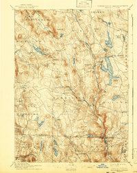
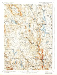
The West Branch Farmington River carves a significant valley through the heart of this Berkshire landscape, serving as a primary corridor for settlement and early industry. Villages like West New Boston and New Boston are situated along its banks, while the Clam River meets it at Montville. The high-elevation terrain is dotted with numerous glacial lakes and ponds, including the large Otis Reservoir and the more secluded Lake Garfield.
Find a feature on this map
83 named features on this map. Tap any name to fly to it.
Don’t see what you’re looking for? This feature index may not catch every label — zoom into the map to look around manually.
Map Details
Editions of this 1897 Sandisfield Map
7 editions found

Other maps of this area

1885 · Sheffield
USGS Topo · 1:62,500

1886 · Chesterfield
USGS Topo · 1:62,500

1886 · Becket
USGS Topo · 1:62,500

1887 · Granville
USGS Topo · 1:62,500

1888 · Sheffield
USGS Topo · 1:62,500

1888 · Becket
USGS Topo · 1:62,500

1888 · Sandisfield
USGS Topo · 1:62,500

1888 · Chesterfield
USGS Topo · 1:62,500

1888 · Pittsfield
USGS Topo · 1:62,500

1889 · Granville
USGS Topo · 1:62,500