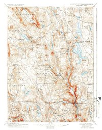
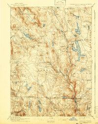
1897 Map of Sandisfield
USGS Topo · Published 1937About this map
The West Branch Farmington River and the Clam River converge in this late 19th-century landscape, anchoring a series of manufacturing and mill settlements through the Berkshire hills. Sandisfield and its satellite villages, such as Montville and New Boston, show a distribution of community centers tied to the valley floors. Further north, the expansive Otis Reservoir and Benton Lake dominate the drainage basin, while peaks like Hunger Mt and Seymour Mt define the upland topography. The map illustrates the interstate connection between Berkshire County and Litchfield County, showing how early roads followed the contours of Silver Brook and Rawson Brook to link Tyringham, Monterey, and North Colebrook. This survey, executed by W.H. Lovell and Willard D. Johnson, documents the transition of the region from an intensive industrial and agricultural hub toward the water-management and recreational character it would later adopt.
Find a feature on this map
80 named features on this map. Tap any name to fly to it.
Don’t see what you’re looking for? This feature index may not catch every label — zoom into the map to look around manually.
Map Details
Editions of this 1897 Sandisfield Map
7 editions found

Other maps of this area

1885 · Sheffield
USGS Topo · 1:62,500

1886 · Chesterfield
USGS Topo · 1:62,500

1886 · Becket
USGS Topo · 1:62,500

1887 · Granville
USGS Topo · 1:62,500

1888 · Sheffield
USGS Topo · 1:62,500

1888 · Becket
USGS Topo · 1:62,500

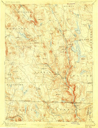
1888 · Sandisfield
USGS Topo · 1:62,500

1888 · Chesterfield
USGS Topo · 1:62,500

1888 · Pittsfield
USGS Topo · 1:62,500

1889 · Granville
USGS Topo · 1:62,500