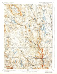
1897 Map of Sandisfield
USGS Topo · Published 1943About this map
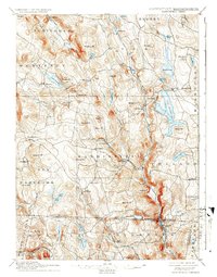
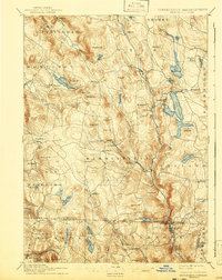
The Farmington River and its West Branch carve through this upland region of the Berkshires, anchoring a network of mill-era settlements at the end of the 19th century. From Tyringham in the north to North Colebrook across the Massachusetts-Connecticut boundary line, the landscape is defined by its water power and high ridges. The expansive Otis Reservoir and Lake Garfield dominate the hydrology of Otis and Monterey, respectively. Local life centers on small villages like Montville, New Boston, and Sandisfield, which are connected by a web of carriage roads winding around significant peaks such as Hunger Mt and Seymour Mt. In the southern reaches, the Colebrook River valley and Doolittle Pond suggest a rugged geography where agriculture and timbering likely shaped the early economy.
Find a feature on this map
76 named features on this map. Tap any name to fly to it.
Don’t see what you’re looking for? This feature index may not catch every label — zoom into the map to look around manually.
Map Details
Editions of this 1897 Sandisfield Map
7 editions found

Other maps of this area

1885 · Sheffield
USGS Topo · 1:62,500

1886 · Chesterfield
USGS Topo · 1:62,500

1886 · Becket
USGS Topo · 1:62,500

1887 · Granville
USGS Topo · 1:62,500

1888 · Sheffield
USGS Topo · 1:62,500

1888 · Becket
USGS Topo · 1:62,500

1888 · Sandisfield
USGS Topo · 1:62,500

1888 · Chesterfield
USGS Topo · 1:62,500

1888 · Pittsfield
USGS Topo · 1:62,500

1889 · Granville
USGS Topo · 1:62,500