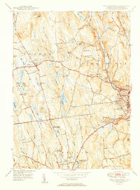
1951 Map of West Torrington
USGS Topo · Published 1951About this map
John Browns Birthplace (Ruins) serves as a quiet historical anchor on Brandy Hill north of the growing city of Torrington. In the mid-century landscape of Litchfield County, the transition from industrial centers to rural upland is marked by specialized institutions such as the Junior Republic Of Connecticut and the Litchfield School For Boys. The topography is defined by significant water management and recreation sites, from the industrial utility of Stillwater Pond on the West Branch Naugatuck River to the residential and institutional clusters near Crystal Lake. In the west, the town of Goshen maintains its hilltop character, while numerous small cemeteries like Collins Cem and Old Middle Street Cem preserve the names of earlier generations of settlers. This survey captures a moment when the region's education and healthcare infrastructure, including Memorial Hospital and The Forman School, was expanding to meet the needs of a post-war population.
Find a feature on this map
74 named features on this map. Tap any name to fly to it.
Don’t see what you’re looking for? This feature index may not catch every label — zoom into the map to look around manually.
Map Details
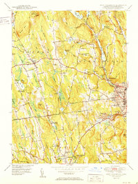
Editions of this 1951 West Torrington Map
2 editions found
Other maps of this area

1892 · Winsted
USGS Topo · 1:62,500

1892 · Cornwall
USGS Topo · 1:62,500

1892 · New Milford
USGS Topo · 1:62,500

1893 · Waterbury
USGS Topo · 1:62,500

1893 · New Milford
USGS Topo · 1:62,500

1893 · Cornwall
USGS Topo · 1:62,500

1903 · Cornwall
USGS Topo · 1:62,500

1904 · New Milford
USGS Topo · 1:62,500

1904 · Waterbury
USGS Topo · 1:62,500

1904 · Litchfield
USGS Topo · 1:125,000