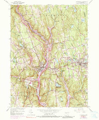
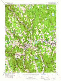
1956 Map of Thomaston
USGS Topo · Published 1990About this map
The Naugatuck River serves as the industrial and topographic spine of this Litchfield Hills region, corridor for the Penn Central railroad and a focal point for the towns of Thomaston and Plymouth. This mid-century survey reflects a period of infrastructure development, most notably the Thomaston Dam and the Terryville Tunnel, which underscore the engineering efforts to manage the river's flow and rail transit. The landscape is dotted with local heritage sites including Hillside Cem and St Thomas Cem, alongside several state parks like Mattatuck State Forest and Humaston Brook State Park. A mix of manufacturing centers and rural hillsides define the area, from the aviation activity at Waterbury Airport to the localized landmarks of Leatherman Cave and Eagle Rock Ch.
Find a feature on this map
84 named features on this map. Tap any name to fly to it.
Don’t see what you’re looking for? This feature index may not catch every label — zoom into the map to look around manually.
Map Details
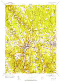
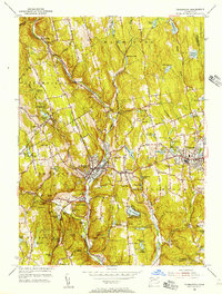
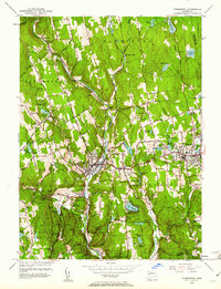
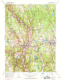
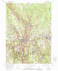
Editions of this 1956 Thomaston Map
7 editions found
Other maps of this area

1892 · Winsted
USGS Topo · 1:62,500

1892 · Meriden
USGS Topo · 1:62,500

1892 · Granby
USGS Topo · 1:62,500

1893 · Waterbury
USGS Topo · 1:62,500

1893 · Meriden
USGS Topo · 1:62,500

1904 · Waterbury
USGS Topo · 1:62,500

1904 · Litchfield
USGS Topo · 1:125,000

1906 · Farmington
USGS Topo · 1:125,000
1946 · Southington
USGS Topo · 1:31,680

1946 · Bristol
USGS Topo · 1:31,680