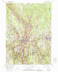
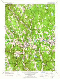
1956 Map of Thomaston
USGS Topo · Published 1987About this map
The Naugatuck River carves a deep valley through this industrial and forest landscape, serving as the primary corridor for the Penn Central railroad and major roadways. The town of Thomaston serves as a dense hub of settlement, surrounded by the steep, wooded slopes of Mattatuck State Forest and Black Rock State Park. To the east, the villages of Plymouth and Terryville sit atop higher ground, overlooking a series of reservoirs including Bristol Res No 6 and Lake Plymouth.
Find a feature on this map
87 named features on this map. Tap any name to fly to it.
Don’t see what you’re looking for? This feature index may not catch every label — zoom into the map to look around manually.
Map Details
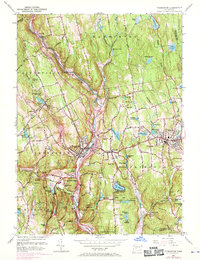
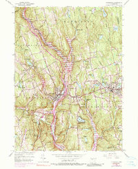
Editions of this 1956 Thomaston Map
7 editions found
Other maps of this area

1892 · Winsted
USGS Topo · 1:62,500

1892 · Meriden
USGS Topo · 1:62,500

1892 · Granby
USGS Topo · 1:62,500

1893 · Waterbury
USGS Topo · 1:62,500

1893 · Meriden
USGS Topo · 1:62,500

1904 · Waterbury
USGS Topo · 1:62,500

1904 · Litchfield
USGS Topo · 1:125,000

1906 · Farmington
USGS Topo · 1:125,000
1946 · Southington
USGS Topo · 1:31,680

1946 · Bristol
USGS Topo · 1:31,680