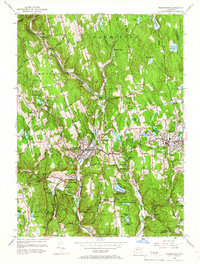
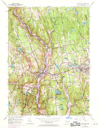
1956 Map of Thomaston
USGS Topo · Published 1966About this map
The Naugatuck River corridor serves as the industrial and transit spine of this mid-century Connecticut landscape, where the New York New Haven and Hartford RR follows the valley floor through Thomaston and Reynolds Bridge. The geography is defined by a dense network of water management features, including the Wigwam Reservoir and the Terryville Tunnel, reflecting the region's reliance on harnessed water power and complex infrastructure.
Find a feature on this map
83 named features on this map. Tap any name to fly to it.
Don’t see what you’re looking for? This feature index may not catch every label — zoom into the map to look around manually.
Map Details
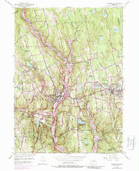
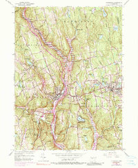
Editions of this 1956 Thomaston Map
7 editions found
Other maps of this area

1892 · Winsted
USGS Topo · 1:62,500

1892 · Meriden
USGS Topo · 1:62,500

1892 · Granby
USGS Topo · 1:62,500

1893 · Waterbury
USGS Topo · 1:62,500

1893 · Meriden
USGS Topo · 1:62,500

1904 · Waterbury
USGS Topo · 1:62,500

1904 · Litchfield
USGS Topo · 1:125,000

1906 · Farmington
USGS Topo · 1:125,000
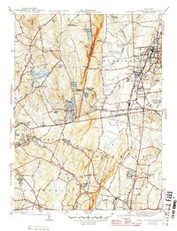
1946 · Southington
USGS Topo · 1:31,680

1946 · Bristol
USGS Topo · 1:31,680