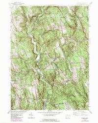
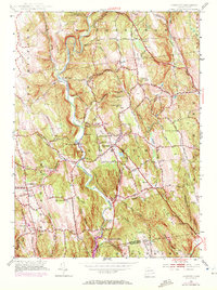
1955 Map of Roxbury
USGS Topo · Published 1984About this map
Shepaug River winds through this Litchfield County landscape, anchoring a network of small settlements and upland farms during the mid-20th century. The village of Roxbury serves as a central hub, surrounded by historic burial grounds including Center Cem and the Old Leavonworth Cem. The terrain is defined by significant ridges and hills, such as Mine Hill, which points to the area's industrial past, and Horse Heaven to the north.
Find a feature on this map
73 named features on this map. Tap any name to fly to it.
Don’t see what you’re looking for? This feature index may not catch every label — zoom into the map to look around manually.
Map Details
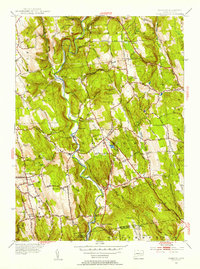
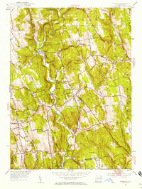
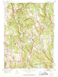
Editions of this 1955 Roxbury Map
5 editions found
Other maps of this area

1889 · Derby
USGS Topo · 1:62,500

1891 · Derby
USGS Topo · 1:62,500

1892 · Danbury
USGS Topo · 1:62,500

1892 · New Milford
USGS Topo · 1:62,500

1893 · Waterbury
USGS Topo · 1:62,500

1893 · New Milford
USGS Topo · 1:62,500

1893 · Derby
USGS Topo · 1:62,500

1904 · New Milford
USGS Topo · 1:62,500

1904 · Waterbury
USGS Topo · 1:62,500

1904 · Litchfield
USGS Topo · 1:125,000