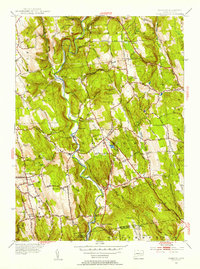
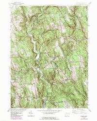
1955 Map of Roxbury
USGS Topo · Published 1956About this map
The Shepaug River carves a deep path through the center of this Litchfield County landscape, anchoring a network of small settlements and family-named hills during the mid-1950s. Communities like Roxbury and Bridgewater are depicted in detail, showing a rural economy still shaped by the valley’s topography and the legacy of the regional railroad. The presence of Roxbury Sta and the Gaging Sta along the river highlights the transition of the waterway from a commercial artery to a managed resource, while the nearby Shepaug Reservoir underscores the area's role in the regional water supply.
Find a feature on this map
93 named features on this map. Tap any name to fly to it.
Don’t see what you’re looking for? This feature index may not catch every label — zoom into the map to look around manually.
Map Details
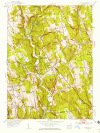
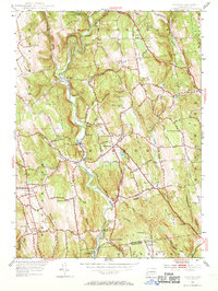
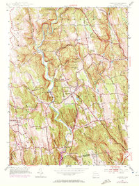
Editions of this 1955 Roxbury Map
5 editions found
Other maps of this area

1889 · Derby
USGS Topo · 1:62,500

1891 · Derby
USGS Topo · 1:62,500

1892 · Danbury
USGS Topo · 1:62,500

1892 · New Milford
USGS Topo · 1:62,500

1893 · Waterbury
USGS Topo · 1:62,500

1893 · New Milford
USGS Topo · 1:62,500

1893 · Derby
USGS Topo · 1:62,500

1904 · New Milford
USGS Topo · 1:62,500

1904 · Waterbury
USGS Topo · 1:62,500

1904 · Litchfield
USGS Topo · 1:125,000