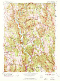
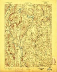
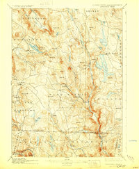
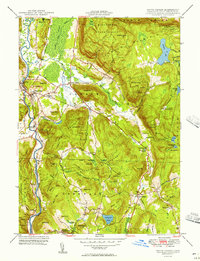
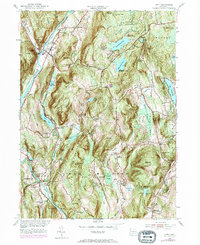
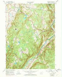
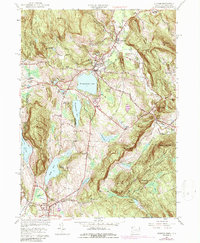
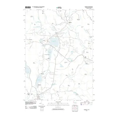
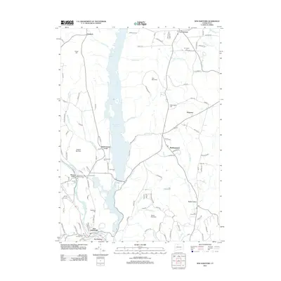
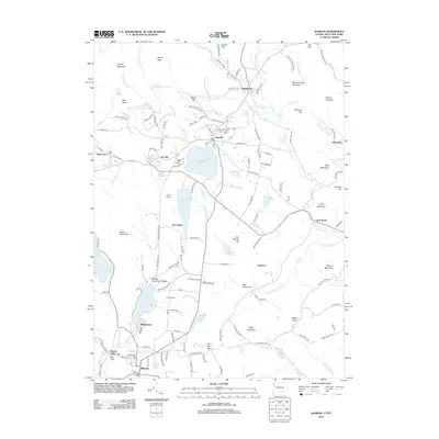
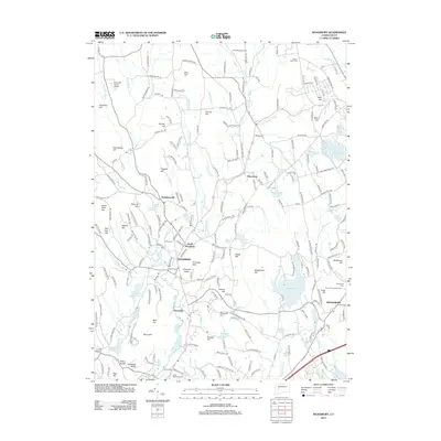
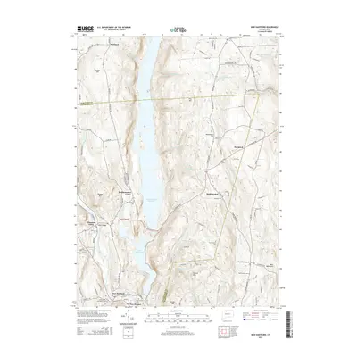
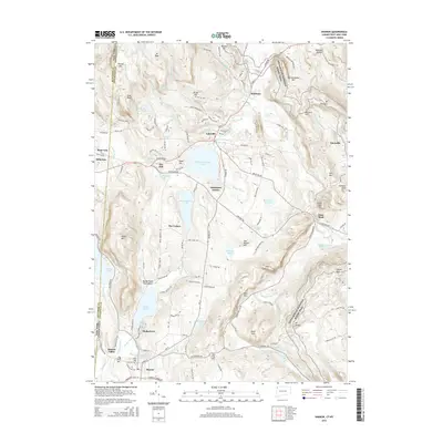
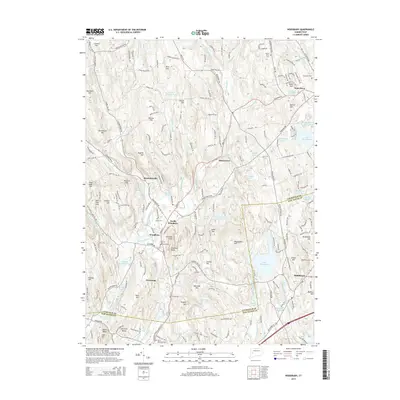
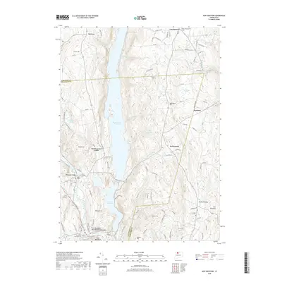
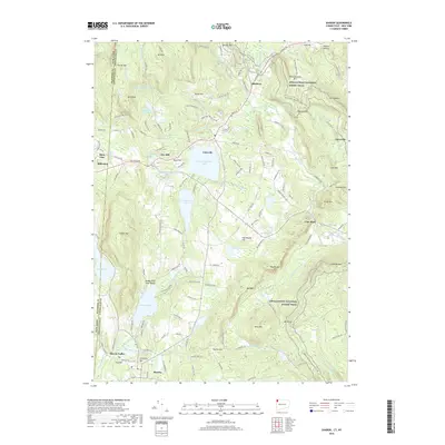
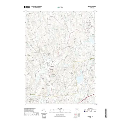
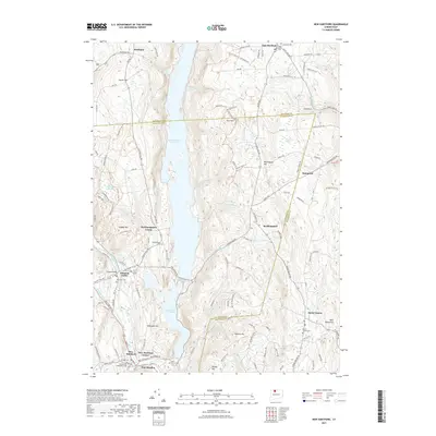
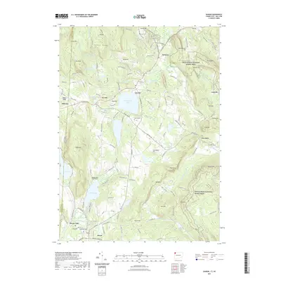
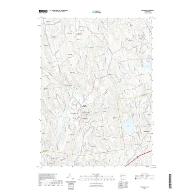
1955 Map of Roxbury
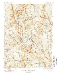
USGS Topo · Published 1972About this map
Shepaug River defines the central spine of this Litchfield County landscape, winding past the village of Roxbury and the riverfront settlement at Roxbury Sta. The terrain is marked by numerous family-named peaks and ridges, including Mine Hill, Booth Hill, and the curiously named The Clam Shell horseshoe bend. Evidence of early industry and community life is scattered throughout the hills, from the Quarry near Second Hill to the high-elevation Roxbury Fire Tower on Painter Hill.
Find a feature on this map
59 named features on this map. Tap any name to fly to it.
Don’t see what you’re looking for? This feature index may not catch every label — zoom into the map to look around manually.
Map Details
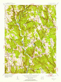
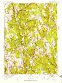
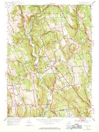
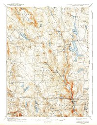
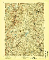
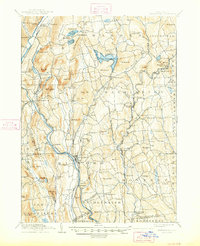
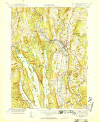
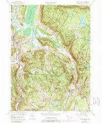
Editions of this 1955 Roxbury Map
5 editions found
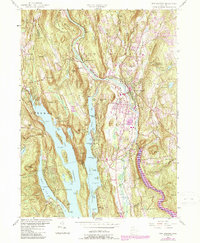
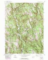
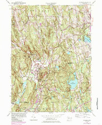
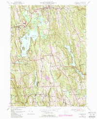
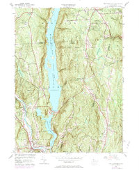
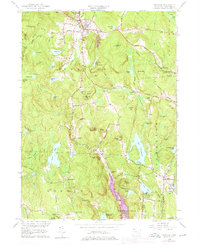
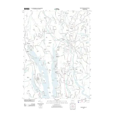
Historical Maps of Southbury Through Time
95 maps found

1892 New Milford
Litchfield County, CT
1893 New Milford
Litchfield County, CT

1893 Sandisfield
Litchfield County, CT
1897 Sandisfield
Litchfield County, CT
1904 Litchfield
Litchfield County, CT
1904 New Milford
Litchfield County, CT
1907 Sandisfield
Litchfield County, CT

1948 Sharon
Litchfield County, CT

1948 Woodbury
Litchfield County, CT
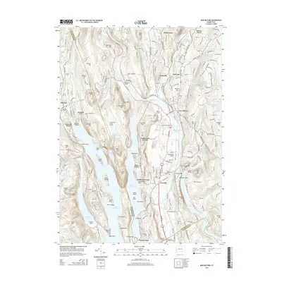
1949 Roxbury
Litchfield County, CT

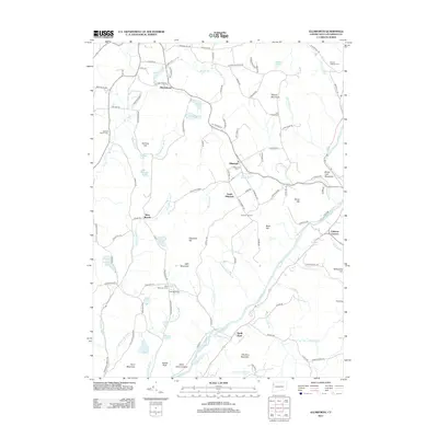
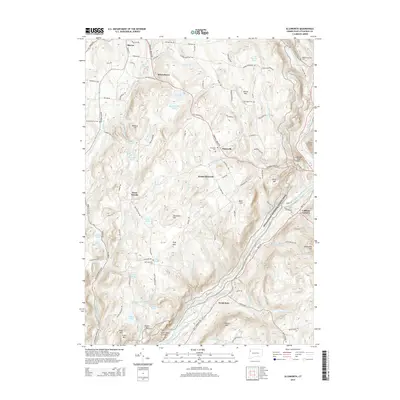
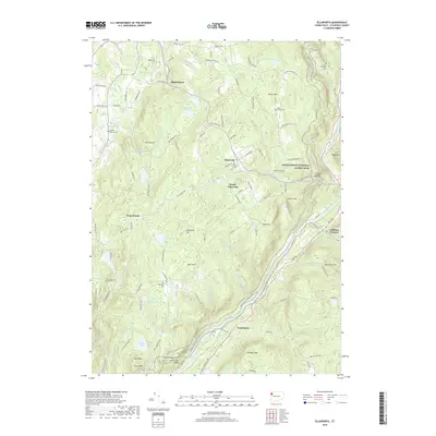
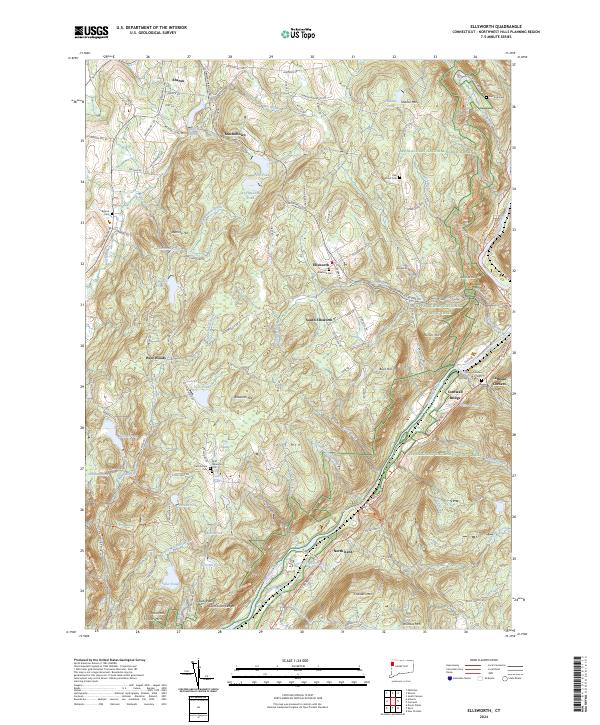
1950 Ellsworth
Litchfield County, CT
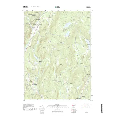
1950 Kent
Litchfield County, CT

1950 Litchfield
Litchfield County, CT
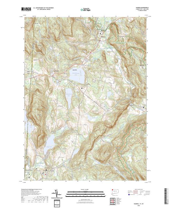
1950 Sharon
Litchfield County, CT
1950 South Canaan
Litchfield County, CT

1950 Woodbury
Litchfield County, CT

1951 New Hartford
Litchfield County, CT
1951 New Milford
Litchfield County, CT

1951 Norfolk
Litchfield County, CT
1951 Thomaston
Litchfield County, CT
1951 West Torrington
Litchfield County, CT
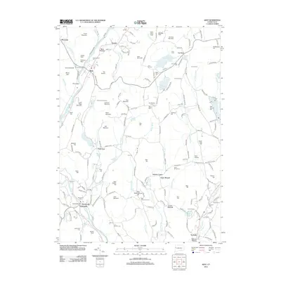
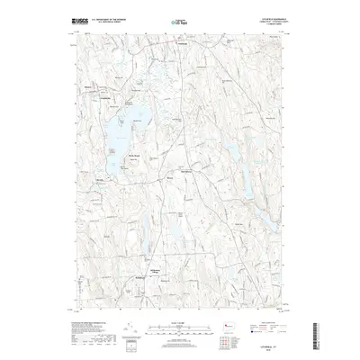
1955 Kent
Litchfield County, CT
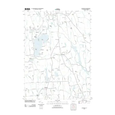
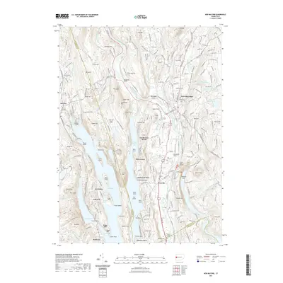
1955 New Milford
Litchfield County, CT
1955 Roxbury
Litchfield County, CT
1955 Woodbury
Litchfield County, CT
1956 Ellsworth
Litchfield County, CT
1956 Litchfield
Litchfield County, CT
1956 New Hartford
Litchfield County, CT
1956 Norfolk
Litchfield County, CT
1956 Sharon
Litchfield County, CT
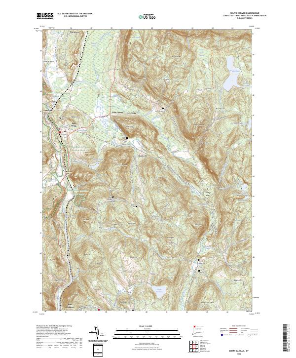
1956 South Canaan
Litchfield County, CT
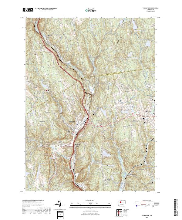
1956 Thomaston
Litchfield County, CT
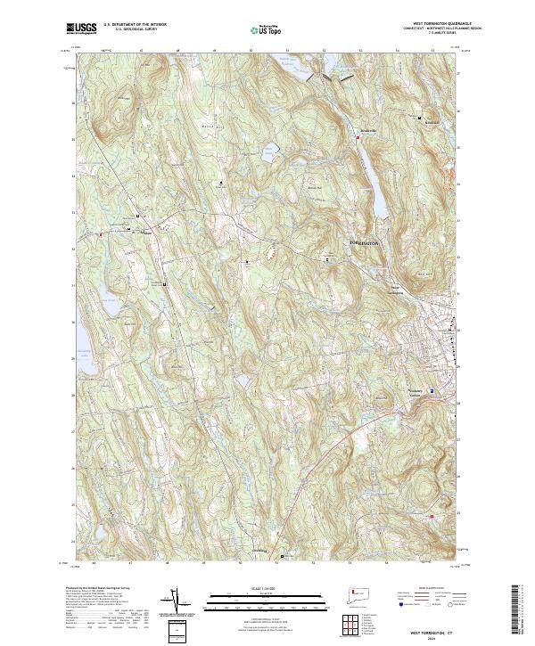
1956 West Torrington
Litchfield County, CT

1965 Norfolk
Litchfield County, CT
2010 Sharon
Litchfield County, CT
2012 Ellsworth
Litchfield County, CT
2012 Kent
Litchfield County, CT
2012 Litchfield
Litchfield County, CT
2012 New Hartford
Litchfield County, CT
2012 New Milford
Litchfield County, CT
2012 Norfolk
Litchfield County, CT
2012 Roxbury
Litchfield County, CT
2012 Sharon
Litchfield County, CT
2012 South Canaan
Litchfield County, CT
2012 Thomaston
Litchfield County, CT
2012 West Torrington
Litchfield County, CT
2012 Woodbury
Litchfield County, CT
2015 Ellsworth
Litchfield County, CT
2015 Kent
Litchfield County, CT
2015 Litchfield
Litchfield County, CT
2015 New Hartford
Litchfield County, CT
2015 New Milford
Litchfield County, CT
2015 Norfolk
Litchfield County, CT
2015 Roxbury
Litchfield County, CT
2015 Sharon
Litchfield County, CT
2015 South Canaan
Litchfield County, CT
2015 Thomaston
Litchfield County, CT
2015 West Torrington
Litchfield County, CT
2015 Woodbury
Litchfield County, CT
2018 Ellsworth
Litchfield County, CT
2018 Kent
Litchfield County, CT
2018 Litchfield
Litchfield County, CT
2018 New Hartford
Litchfield County, CT
2018 New Milford
Litchfield County, CT
2018 Norfolk
Litchfield County, CT
2018 Roxbury
Litchfield County, CT
2018 Sharon
Litchfield County, CT
2018 South Canaan
Litchfield County, CT
2018 Thomaston
Litchfield County, CT
2018 West Torrington
Litchfield County, CT
2018 Woodbury
Litchfield County, CT
2021 Ellsworth
Litchfield County, CT
2021 Kent
Litchfield County, CT
2021 Litchfield
Litchfield County, CT
2021 New Hartford
Litchfield County, CT
2021 New Milford
Litchfield County, CT
2021 Norfolk
Litchfield County, CT
2021 Roxbury
Litchfield County, CT
2021 Sharon
Litchfield County, CT
2021 South Canaan
Litchfield County, CT
2021 Thomaston
Litchfield County, CT
2021 West Torrington
Litchfield County, CT
2021 Woodbury
Litchfield County, CT
2024 Ellsworth
Litchfield County, CT
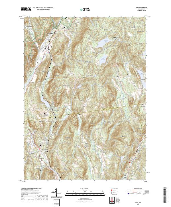
2024 Kent
Litchfield County, CT
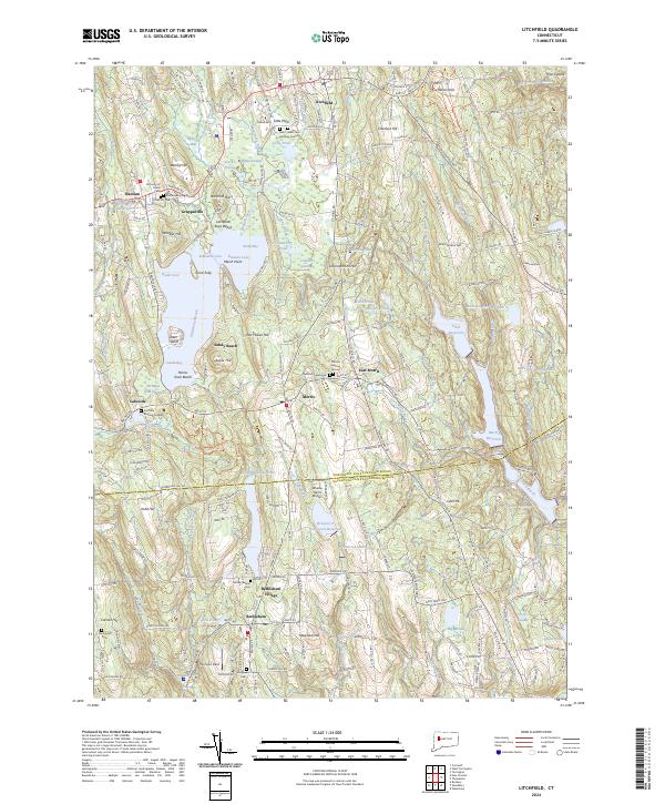
2024 Litchfield
Litchfield County, CT
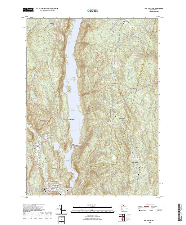
2024 New Hartford
Litchfield County, CT
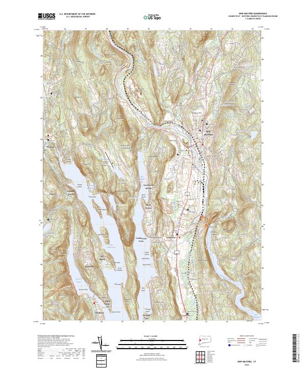
2024 New Milford
Litchfield County, CT
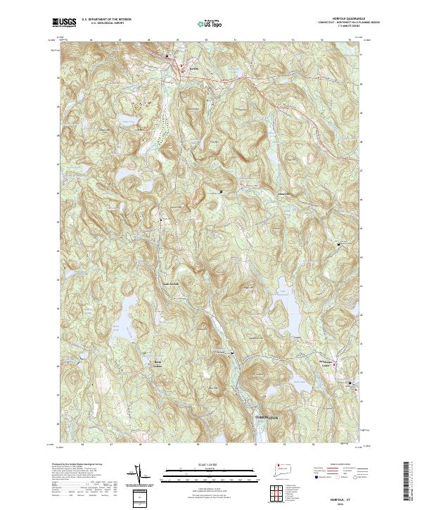
2024 Norfolk
Litchfield County, CT
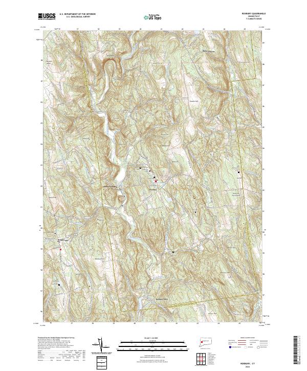
2024 Roxbury
Litchfield County, CT
2024 Sharon
Litchfield County, CT
2024 South Canaan
Litchfield County, CT
2024 Thomaston
Litchfield County, CT
2024 West Torrington
Litchfield County, CT
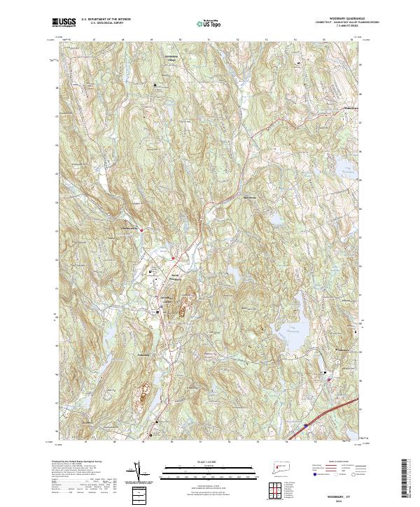
2024 Woodbury
Litchfield County, CT