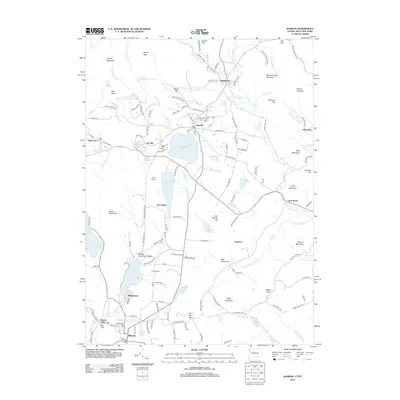
2012 Map of Sharon
USGS Topo · Published 2012About this map
Salisbury and Lakeville anchor this northern Litchfield County landscape, where the legacy of early industry and modern recreation intersect. The presence of Ore Hill and Ore Hill Pond points to the area's rich iron mining heritage, while Mine Mountain looms over the southern terrain. This 2012 survey illustrates the concentration of residential and civic life around large glacial water bodies, most notably Wononscopomuc Lake and Wononpakook Lake. In the southern portion of the quadrangle, the town of Sharon is clearly defined, featuring its local Memorial Clock Tower and the proximity to the State Line. Further historical points of interest include the small settlements of Amesville and Lime Rock along Salmon Cr, alongside organized recreational spaces like Camp Sloane and Camp Easton. The map provides a detailed look at the rural road networks, such as W Cornwall Rd and Mount Riga Rd, that connect these historic hamlets across the Litchfield hills.
Find a feature on this map
158 named features on this map. Tap any name to fly to it.
Don’t see what you’re looking for? This feature index may not catch every label — zoom into the map to look around manually.
Map Details
Editions of this 2012 Sharon Map
This is the sole edition of this map. No revisions or reprints were ever made.
Other maps of this area

1885 · Sheffield
USGS Topo · 1:62,500

1888 · Sheffield
USGS Topo · 1:62,500

1891 · Sheffield
USGS Topo · 1:62,500

1892 · Cornwall
USGS Topo · 1:62,500

1893 · Sheffield
USGS Topo · 1:62,500

1893 · Cornwall
USGS Topo · 1:62,500

1897 · Sheffield
USGS Topo · 1:62,500

1899 · Housatonic
USGS Topo · 1:125,000

1899 · Millbrook
USGS Topo · 1:62,500

1900 · Housatonic
USGS Topo · 1:125,000