
1900 Map of Housatonic
USGS Topo · Published 1900About this map
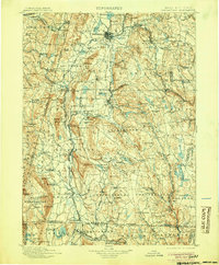
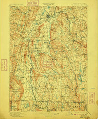
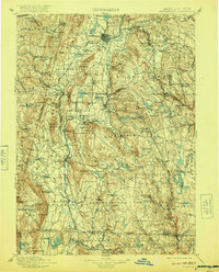
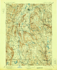
Housatonic River serves as the central artery for this late-nineteenth-century study of the Berkshire region, where industrial hamlets like Lenox Furnace and South Lee sit within a landscape of high peaks and glacial lakes. The map documents a critical period of infrastructure, showing the extensive trackage of the Boston and Albany R.R. and the Housatonic R.R. as they navigate the difficult terrain of the Taconic and Berkshire ranges.
Find a feature on this map
157 named features on this map. Tap any name to fly to it.
Don’t see what you’re looking for? This feature index may not catch every label — zoom into the map to look around manually.
Map Details
Editions of this 1900 Housatonic Map
5 editions found
Other maps of this area

1885 · Sheffield
USGS Topo · 1:62,500

1886 · Greylock
USGS Topo · 1:62,500

1886 · Hawley
USGS Topo · 1:62,500

1886 · Chesterfield
USGS Topo · 1:62,500

1886 · Becket
USGS Topo · 1:62,500

1887 · Granville
USGS Topo · 1:62,500

1888 · Sheffield
USGS Topo · 1:62,500

1888 · Becket
USGS Topo · 1:62,500

1888 · Berlin
USGS Topo · 1:62,500

1888 · Sandisfield
USGS Topo · 1:62,500