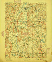
1900 Map of Housatonic
USGS Topo · Published 1909About this map
Shaker Village and the historic settlement at New Lebanon anchor the northwestern reaches of this tri-state borderland survey. The terrain is defined by the winding course of the Housatonic River, which powers local industry at Lenox Furnace and Housatonic. Cultural and topographical landmarks such as Laura Tower on Evergreen Hill and the distinctive Monument Mtn. stand above the valley, providing clear orientation for the surrounding townships.
Find a feature on this map
183 named features on this map. Tap any name to fly to it.
Don’t see what you’re looking for? This feature index may not catch every label — zoom into the map to look around manually.
Map Details
Editions of this 1900 Housatonic Map
5 editions found

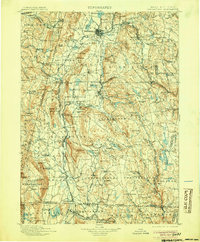
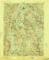
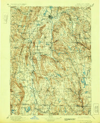
Other maps of this area

1885 · Sheffield
USGS Topo · 1:62,500

1886 · Greylock
USGS Topo · 1:62,500

1886 · Hawley
USGS Topo · 1:62,500

1886 · Chesterfield
USGS Topo · 1:62,500

1886 · Becket
USGS Topo · 1:62,500

1887 · Granville
USGS Topo · 1:62,500

1888 · Sheffield
USGS Topo · 1:62,500

1888 · Becket
USGS Topo · 1:62,500

1888 · Berlin
USGS Topo · 1:62,500

1888 · Sandisfield
USGS Topo · 1:62,500