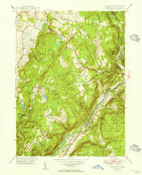
1950 Map of Ellsworth
USGS Topo · Published 1950About this map
Sharon Mountain dominates the center of this Litchfield County landscape, rising above a network of smaller peaks and scattered farm settlements in the mid-20th century. The Housatonic River serves as a primary geographic anchor, winding through the eastern corridor and carrying the New York New Haven and Hartford railroad along its banks. This era shows a community defined by its crossroads and family-named landmarks, from the clusters at Pearson Corners and South Ellsworth to the higher elevations of Skiff Mountain. The map records a transition toward conservation and recreation, evidenced by the established boundaries of Kent Falls State Park and the Appalachian Trail threading through the western hills. Pockets of local history are preserved in sites like the East Street Cem and the small settlement of Mitcheltown, while numerous water bodies like Hatch Pond and Ford Pond punctuate the wooded uplands.
Find a feature on this map
62 named features on this map. Tap any name to fly to it.
Don’t see what you’re looking for? This feature index may not catch every label — zoom into the map to look around manually.
Map Details
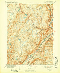
Editions of this 1950 Ellsworth Map
2 editions found
Other maps of this area

1892 · Cornwall
USGS Topo · 1:62,500

1892 · New Milford
USGS Topo · 1:62,500

1893 · New Milford
USGS Topo · 1:62,500

1893 · Cornwall
USGS Topo · 1:62,500

1893 · Clove
USGS Topo · 1:62,500

1894 · Clove
USGS Topo · 1:62,500

1898 · Clove
USGS Topo · 1:62,500

1899 · Millbrook
USGS Topo · 1:62,500

1901 · Clove
USGS Topo · 1:62,500

1902 · Millbrook
USGS Topo · 1:62,500