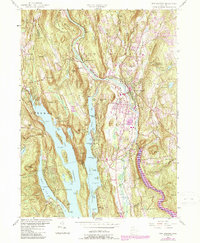
1955 Map of New Milford
USGS Topo · Published 1988About this map
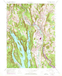
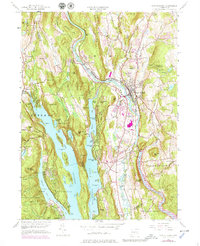
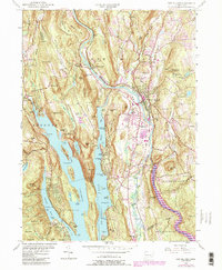
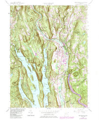
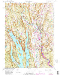
The Housatonic River and the expansive Candlewood Lake dominate this Litchfield County landscape, reflecting a mid-20th-century transition between industrial valley centers and growing lakeside recreation. In New Milford, the valley floor shows a concentrated rail-and-river corridor supported by Conrail and historical infrastructure like the Boardman Bridge. Higher elevations to the west reveal the early residential and spiritual centers of Sherman, including the Sherman Ch and Quaker Cem.
Find a feature on this map
107 named features on this map. Tap any name to fly to it.
Don’t see what you’re looking for? This feature index may not catch every label — zoom into the map to look around manually.
Map Details
Editions of this 1955 New Milford Map
9 editions found
Other maps of this area

1892 · Danbury
USGS Topo · 1:62,500

1892 · New Milford
USGS Topo · 1:62,500

1892 · Carmel
USGS Topo · 1:62,500

1893 · Carmel
USGS Topo · 1:62,500

1893 · New Milford
USGS Topo · 1:62,500

1893 · Clove
USGS Topo · 1:62,500

1894 · Clove
USGS Topo · 1:62,500

1894 · Carmel
USGS Topo · 1:62,500

1898 · Clove
USGS Topo · 1:62,500

1901 · Clove
USGS Topo · 1:62,500