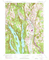
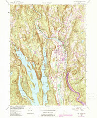
1955 Map of New Milford
USGS Topo · Published 1972About this map
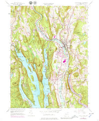
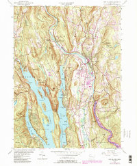
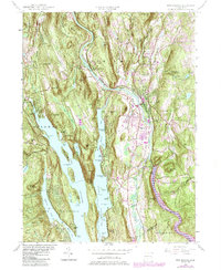
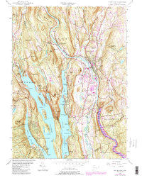
New Milford serves as the primary hub where the Housatonic River meets the Aspetuck River, a landscape defined by dramatic valley topography and mid-century suburban expansion. The dominance of Candlewood Lake to the west, including features like Deer Island and Squantz Pond State Park, reflects the area's transition into a premier recreation destination. The Penn Central rail line traces the river's path, connecting the industrial legacy of places like the Haviland Millpond and the historic crossing at Boardman Bridge to the growing town center. Notable institutional landmarks are well-documented, from the Canterbury Sch and New Milford High Sch to local camps such as Camp Mauwehu. Significant purple revisions reflect the rapid highway and residential development that transformed Litchfield and Fairfield counties between the 1950s and early 1970s.
Find a feature on this map
91 named features on this map. Tap any name to fly to it.
Don’t see what you’re looking for? This feature index may not catch every label — zoom into the map to look around manually.
Map Details
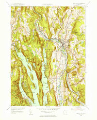
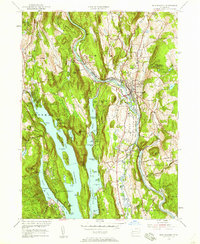
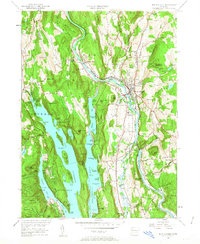
Editions of this 1955 New Milford Map
9 editions found
Other maps of this area

1892 · Danbury
USGS Topo · 1:62,500

1892 · New Milford
USGS Topo · 1:62,500

1892 · Carmel
USGS Topo · 1:62,500

1893 · Carmel
USGS Topo · 1:62,500

1893 · New Milford
USGS Topo · 1:62,500

1893 · Clove
USGS Topo · 1:62,500

1894 · Clove
USGS Topo · 1:62,500

1894 · Carmel
USGS Topo · 1:62,500

1898 · Clove
USGS Topo · 1:62,500

1901 · Clove
USGS Topo · 1:62,500