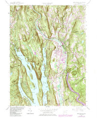
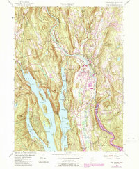
1955 Map of New Milford
USGS Topo · Published 1984About this map
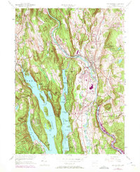
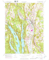
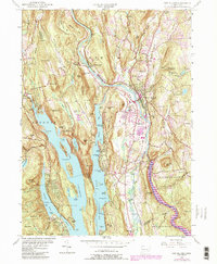
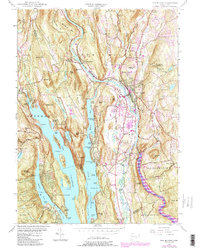
Candlewood Lake dominates the western half of this Litchfield and Fairfield County landscape, its intricate shoreline of points and islands like Birch Point, Cedar Island, and Spear Point defining the residential character of the mid-20th century. The Housatonic River winds through the center, paralleled by the Conrail line and punctuated by the industry of the Sawmill and the Haviland Millpond. The transition from the river valley to the surrounding uplands is marked by prominent landmarks such as Boardman Mountain and Guarding Mountain.
Find a feature on this map
99 named features on this map. Tap any name to fly to it.
Don’t see what you’re looking for? This feature index may not catch every label — zoom into the map to look around manually.
Map Details
Editions of this 1955 New Milford Map
9 editions found
Other maps of this area

1892 · Danbury
USGS Topo · 1:62,500

1892 · New Milford
USGS Topo · 1:62,500

1892 · Carmel
USGS Topo · 1:62,500

1893 · Carmel
USGS Topo · 1:62,500

1893 · New Milford
USGS Topo · 1:62,500

1893 · Clove
USGS Topo · 1:62,500

1894 · Clove
USGS Topo · 1:62,500

1894 · Carmel
USGS Topo · 1:62,500

1898 · Clove
USGS Topo · 1:62,500

1901 · Clove
USGS Topo · 1:62,500