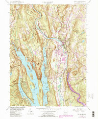
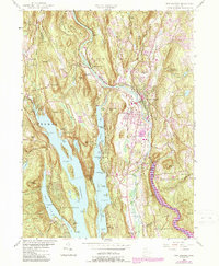
1955 Map of New Milford
USGS Topo · Published 1984About this map
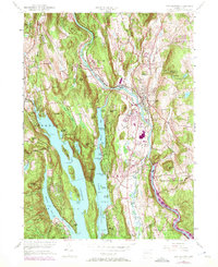
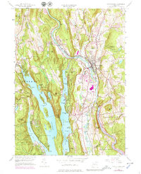
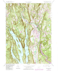
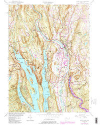
The Housatonic River winds through this mid-century Connecticut landscape, defining the character of New Milford and its surrounding hill country. This 1955 survey, with revisions into the early 1980s, highlights a period when the massive Candlewood Lake had already reshaped the western topography, creating complex shorelines at Deer Island and Green Island. The mapping captures the intersection of traditional agricultural industry at The Lime Kiln with the growing residential and educational presence of institutions like the Canterbury Sch and New Milford High Sch. To the south, the expansion of Lake Lillinonah marks the valley's evolving water management and recreation patterns. Rural life is grounded by numerous localized landmarks, from the Sherman Ch in the west to the small settlements at Boardman Bridge and Lanesville, alongside preserved woodlands in the Pootatuck State Forest.
Find a feature on this map
72 named features on this map. Tap any name to fly to it.
Don’t see what you’re looking for? This feature index may not catch every label — zoom into the map to look around manually.
Map Details
Editions of this 1955 New Milford Map
9 editions found
Other maps of this area

1892 · Danbury
USGS Topo · 1:62,500

1892 · New Milford
USGS Topo · 1:62,500

1892 · Carmel
USGS Topo · 1:62,500

1893 · Carmel
USGS Topo · 1:62,500

1893 · New Milford
USGS Topo · 1:62,500

1893 · Clove
USGS Topo · 1:62,500

1894 · Clove
USGS Topo · 1:62,500

1894 · Carmel
USGS Topo · 1:62,500

1898 · Clove
USGS Topo · 1:62,500

1901 · Clove
USGS Topo · 1:62,500