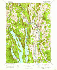
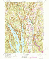
1955 Map of New Milford
USGS Topo · Published 1958About this map
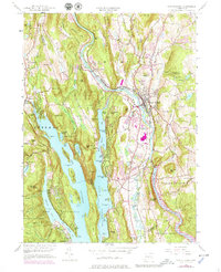
Candlewood Lake dominates the western landscape of this mid-century survey, its intricate shoreline of coves and points like Allens Cove and Squantz Cove framing a burgeoning recreation and residential district. The map captures a moment when the Housatonic River corridor was adapting to post-war utility, with the newly formed Lake Lillinonah appearing at the southern edge and the Shepaug Reservoir noted as subject to controlled inundation.
Find a feature on this map
112 named features on this map. Tap any name to fly to it.
Don’t see what you’re looking for? This feature index may not catch every label — zoom into the map to look around manually.
Map Details
Editions of this 1955 New Milford Map
9 editions found
Other maps of this area

1892 · Danbury
USGS Topo · 1:62,500

1892 · New Milford
USGS Topo · 1:62,500

1892 · Carmel
USGS Topo · 1:62,500

1893 · Carmel
USGS Topo · 1:62,500

1893 · New Milford
USGS Topo · 1:62,500

1893 · Clove
USGS Topo · 1:62,500

1894 · Clove
USGS Topo · 1:62,500

1894 · Carmel
USGS Topo · 1:62,500

1898 · Clove
USGS Topo · 1:62,500

1901 · Clove
USGS Topo · 1:62,500