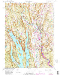
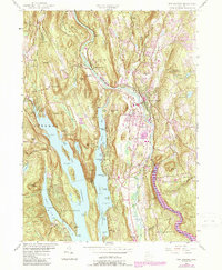
1955 Map of New Milford
USGS Topo · Published 1988About this map
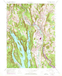
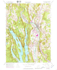
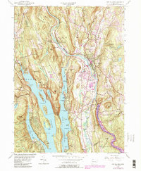
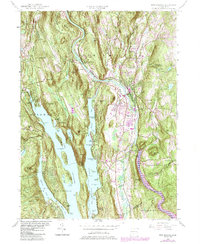
New Milford sits at the heart of this landscape, where the Housatonic River meets the Still River. The geography is defined by the massive reservoirs of Candlewood Lake and Lake Lillinonah, which transformed the region's drainage patterns and valley commerce. Rural life persists through landmarks like the Boardman Sch and Boardman Bridge, while religious and educational institutions such as Holy Cross Seminary and New Milford High School anchor the local community.
Find a feature on this map
131 named features on this map. Tap any name to fly to it.
Don’t see what you’re looking for? This feature index may not catch every label — zoom into the map to look around manually.
Map Details
Editions of this 1955 New Milford Map
9 editions found
Other maps of this area

1892 · Danbury
USGS Topo · 1:62,500

1892 · New Milford
USGS Topo · 1:62,500

1892 · Carmel
USGS Topo · 1:62,500

1893 · Carmel
USGS Topo · 1:62,500

1893 · New Milford
USGS Topo · 1:62,500

1893 · Clove
USGS Topo · 1:62,500

1894 · Clove
USGS Topo · 1:62,500

1894 · Carmel
USGS Topo · 1:62,500

1898 · Clove
USGS Topo · 1:62,500

1901 · Clove
USGS Topo · 1:62,500