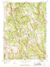
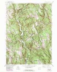
1955 Map of Roxbury
USGS Topo · Published 1970About this map
The Shepaug River carves a deep valley through Litchfield County in the mid-1950s, defining the rugged character of the Roxbury area. This period captures the landscape just as the Lake Linninonah reservoir was subject to controlled inundation, an engineering shift that reshaped the southern portion of the quadrangle near Roxbury Falls. The river corridor is marked by historic infrastructure, including the Roxbury Sta and the Gaging Sta Wellers Br, illustrating the area's transition from a rail-dependent rural economy to one focused on water management and recreation.
Find a feature on this map
97 named features on this map. Tap any name to fly to it.
Don’t see what you’re looking for? This feature index may not catch every label — zoom into the map to look around manually.
Map Details
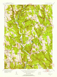
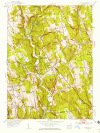
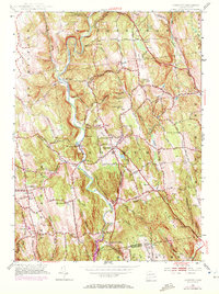
Editions of this 1955 Roxbury Map
5 editions found
Other maps of this area

1889 · Derby
USGS Topo · 1:62,500

1891 · Derby
USGS Topo · 1:62,500

1892 · Danbury
USGS Topo · 1:62,500

1892 · New Milford
USGS Topo · 1:62,500

1893 · Waterbury
USGS Topo · 1:62,500

1893 · New Milford
USGS Topo · 1:62,500

1893 · Derby
USGS Topo · 1:62,500

1904 · New Milford
USGS Topo · 1:62,500

1904 · Waterbury
USGS Topo · 1:62,500

1904 · Litchfield
USGS Topo · 1:125,000