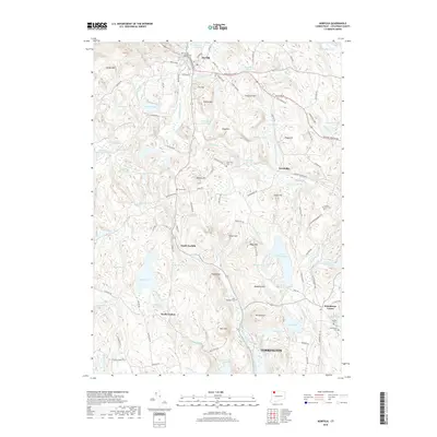
2018 Map of Norfolk
USGS Topo · Published 2018About this map
Norfolk sits at the northern edge of this Litchfield County landscape, where the Blackberry River and Norfolk Brook wind through a complex terrain of ridges and peaks. The map reveals a distribution of historic hamlets such as Grantville, South Norfolk, and North Goshen, each connected by a network of older thoroughfares like the Greenwoods Tpke and Old Danbury Quarter Rd. This area is particularly rich in genealogical sites, with numerous burial grounds including Norfolk Center Cem, Grantville Cem, and the Danbury Quarter Cem located near the eastern boundary.
Find a feature on this map
111 named features on this map. Tap any name to fly to it.
Don’t see what you’re looking for? This feature index may not catch every label — zoom into the map to look around manually.
Map Details
Editions of this 2018 Norfolk Map
This is the sole edition of this map. No revisions or reprints were ever made.
Other maps of this area

1885 · Sheffield
USGS Topo · 1:62,500

1888 · Sheffield
USGS Topo · 1:62,500

1888 · Sandisfield
USGS Topo · 1:62,500

1891 · Sheffield
USGS Topo · 1:62,500

1892 · Winsted
USGS Topo · 1:62,500

1892 · Cornwall
USGS Topo · 1:62,500

1893 · Sheffield
USGS Topo · 1:62,500

1893 · Cornwall
USGS Topo · 1:62,500

1893 · Sandisfield
USGS Topo · 1:62,500

1897 · Sandisfield
USGS Topo · 1:62,500