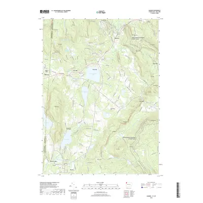
2018 Map of Sharon
USGS Topo · Published 2018About this map
Salisbury and Sharon anchor this detailed landscape along the Connecticut and New York border, where the region's industrial and agricultural history is etched into the terrain. The area's legacy of iron production is evident at Ore Hill Pond and the settlement of Ore Hill, while the village of Lime Rock points to the early water-powered industry along Salmon Creek. This survey captures a network of significant water bodies, from the expansive Wononskopomuc Lake and Wononpakook Lake to the more secluded Indian Lake and Mudge Pond, the latter featuring the Mudge Pond Town Beach. Elevation shifts significantly across landmarks like Indian Mountain and Mount Riga, with the Appalachian National Scenic Trail winding through the eastern ridges. The presence of Cemetery Hill and numerous named brooks like Beeslick Brook and Wachocastinook Creek provide fine-grained details for local history researchers.
Find a feature on this map
154 named features on this map. Tap any name to fly to it.
Don’t see what you’re looking for? This feature index may not catch every label — zoom into the map to look around manually.
Map Details
Editions of this 2018 Sharon Map
This is the sole edition of this map. No revisions or reprints were ever made.
Other maps of this area

1885 · Sheffield
USGS Topo · 1:62,500

1888 · Sheffield
USGS Topo · 1:62,500

1891 · Sheffield
USGS Topo · 1:62,500

1892 · Cornwall
USGS Topo · 1:62,500

1893 · Sheffield
USGS Topo · 1:62,500

1893 · Cornwall
USGS Topo · 1:62,500

1897 · Sheffield
USGS Topo · 1:62,500

1899 · Housatonic
USGS Topo · 1:125,000

1899 · Millbrook
USGS Topo · 1:62,500

1900 · Housatonic
USGS Topo · 1:125,000