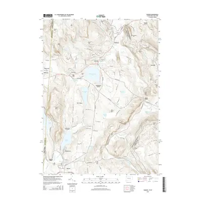
2015 Map of Sharon
USGS Topo · Published 2015About this map
Salisbury and Sharon anchor the high country of the Northwest Hills, where the Appalachian National Scenic Trail winds across ridges like Wetauwanchu Mtn and Mt Prospect. This 2015 survey reveals a landscape defined by its glacial hydrology, from the large expanse of Wononskopomuc Lake near Lakeville to the recreational focus of Mudge Pond Town Beach. The map details the transition from the village centers to the more isolated upland hollows and peaks.
Find a feature on this map
110 named features on this map. Tap any name to fly to it.
Don’t see what you’re looking for? This feature index may not catch every label — zoom into the map to look around manually.
Map Details
Editions of this 2015 Sharon Map
This is the sole edition of this map. No revisions or reprints were ever made.
Other maps of this area

1885 · Sheffield
USGS Topo · 1:62,500

1888 · Sheffield
USGS Topo · 1:62,500

1891 · Sheffield
USGS Topo · 1:62,500

1892 · Cornwall
USGS Topo · 1:62,500

1893 · Sheffield
USGS Topo · 1:62,500

1893 · Cornwall
USGS Topo · 1:62,500

1897 · Sheffield
USGS Topo · 1:62,500

1899 · Housatonic
USGS Topo · 1:125,000

1899 · Millbrook
USGS Topo · 1:62,500

1900 · Housatonic
USGS Topo · 1:125,000