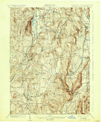
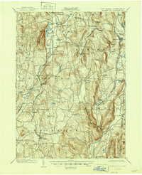
1902 Map of Millbrook
USGS Topo · Published 1932About this map
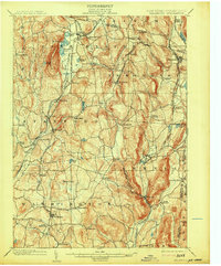
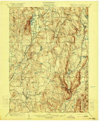
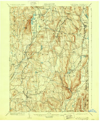
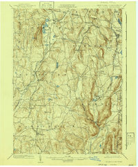
Pine Plains and Millbrook anchor this turn-of-the-century landscape, which is defined by a dense network of competing rail lines and rural hamlets. The valley terrain is crisscrossed by the Poughkeepsie and Eastern R.R. and the Dutchess and Connecticut R.R., illustrating the region's importance as a transit corridor between the Hudson Valley and the Connecticut border. Prominent geological features like Stissing Mtn. stand over a series of water bodies including Thompson Pond and Hunn's Lake. The settlement pattern reveals the industrial and agricultural hubs of the era, from the iron works suggested by Irondale to the dairy and milling centers at Amenia and Halls Mills. Smaller junctions like Bethel Station and Coleman Station highlight the reliance on rail for connecting these disparate farming communities to larger markets at the start of the 1900s.
Find a feature on this map
70 named features on this map. Tap any name to fly to it.
Don’t see what you’re looking for? This feature index may not catch every label — zoom into the map to look around manually.
Map Details
Editions of this 1902 Millbrook Map
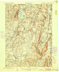
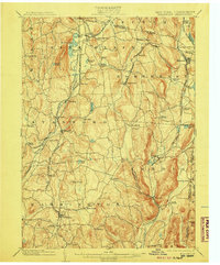
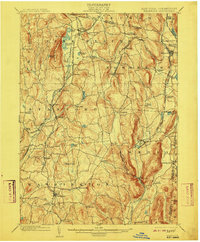
10 editions found

Other maps of this area

1885 · Sheffield
USGS Topo · 1:62,500

1888 · Sheffield
USGS Topo · 1:62,500

1891 · Sheffield
USGS Topo · 1:62,500

1892 · Cornwall
USGS Topo · 1:62,500

1892 · New Milford
USGS Topo · 1:62,500

1893 · Sheffield
USGS Topo · 1:62,500

1893 · New Milford
USGS Topo · 1:62,500

1893 · Cornwall
USGS Topo · 1:62,500

1893 · Clove
USGS Topo · 1:62,500

1893 · Poughkeepsie
USGS Topo · 1:62,500