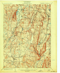
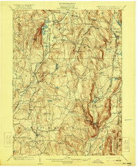
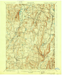
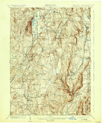
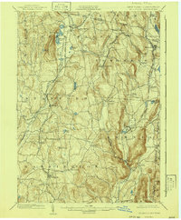
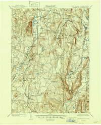
1902 Map of Millbrook
USGS Topo · Published 1913About this map
The rolling dairy and agricultural lands of eastern Dutchess County are captured here at a peak of railway expansion during the early 20th century. Four distinct rail lines crisscross the landscape, connecting the village of Millbrook to distant markets and linking smaller hamlets like Pine Plains, Bangall, and Stanfordville. The industrial legacy of the region is visible at Irondale, while the eastern edge follows the New York Connecticut boundary line into the foothills of the Berkshires.
Find a feature on this map
71 named features on this map. Tap any name to fly to it.
Don’t see what you’re looking for? This feature index may not catch every label — zoom into the map to look around manually.
Map Details
Editions of this 1902 Millbrook Map
10 editions found

Other maps of this area

1885 · Sheffield
USGS Topo · 1:62,500

1888 · Sheffield
USGS Topo · 1:62,500

1891 · Sheffield
USGS Topo · 1:62,500

1892 · Cornwall
USGS Topo · 1:62,500

1892 · New Milford
USGS Topo · 1:62,500

1893 · Sheffield
USGS Topo · 1:62,500

1893 · New Milford
USGS Topo · 1:62,500

1893 · Cornwall
USGS Topo · 1:62,500

1893 · Clove
USGS Topo · 1:62,500

1893 · Poughkeepsie
USGS Topo · 1:62,500