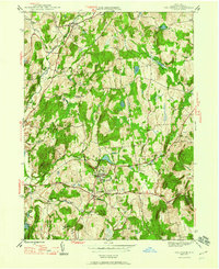
1947 Map of Millbrook
USGS Topo · Published 1960About this map
Millbrook serves as the central hub of this mid-century portrait of central Dutchess County, where the village and South Millbrook are surrounded by an established landscape of institutional and recreational landmarks. The presence of Bennett Jr College and the Millbrook Golf Course reflects the area's development as a sophisticated rural enclave during the post-war era. To the north, Stanfordville sits along the winding course of Willow Brook, while smaller crossroads like Shunpike and Mabbettsville mark the local transportation network of the 1940s.
Find a feature on this map
31 named features on this map. Tap any name to fly to it.
Don’t see what you’re looking for? This feature index may not catch every label — zoom into the map to look around manually.
Map Details
Editions of this 1947 Millbrook Map
2 editions found
Other maps of this area

1893 · Clove
USGS Topo · 1:62,500

1893 · Poughkeepsie
USGS Topo · 1:62,500

1894 · Clove
USGS Topo · 1:62,500

1894 · Poughkeepsie
USGS Topo · 1:62,500

1898 · Clove
USGS Topo · 1:62,500

1898 · Rhinebeck
USGS Topo · 1:62,500

1899 · Millbrook
USGS Topo · 1:62,500

1901 · Clove
USGS Topo · 1:62,500

1902 · Millbrook
USGS Topo · 1:62,500

1903 · Poughkeepsie
USGS Topo · 1:62,500