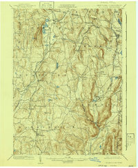
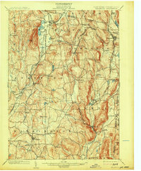
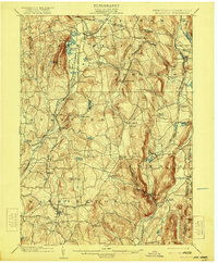
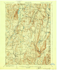
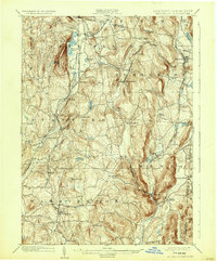
1902 Map of Millbrook
USGS Topo · Published 1941About this map
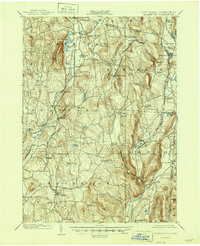
Millbrook and the surrounding townships of Amenia, Stanford, and Northeast are defined here by a dense network of early 20th-century railroads serving the dairy and iron-rich valleys of eastern Dutchess County. The confluence of the Poughkeepsie & Eastern R.R. and the Newburgh Dutchess and Connecticut R.R. at Stissing underscores the era's reliance on rail for transporting goods from rural hubs like Irondale and Bethel Station. The landscape transitions from the prominent heights of Stissing Mtn. and the depths of Turkey Hollow to the fertile drainage of the Wappinger Creek and Tenmile River. Local centers such as Amenia Union and Leedsville sit near the Connecticut border, while dozens of smaller settlements like Attlebury, Bangall, and Lithgow mark a period of established agricultural and industrial small-town life before the mid-century shift toward a more suburban character.
Find a feature on this map
70 named features on this map. Tap any name to fly to it.
Don’t see what you’re looking for? This feature index may not catch every label — zoom into the map to look around manually.
Map Details
Editions of this 1902 Millbrook Map
10 editions found

Other maps of this area

1885 · Sheffield
USGS Topo · 1:62,500

1888 · Sheffield
USGS Topo · 1:62,500

1891 · Sheffield
USGS Topo · 1:62,500

1892 · Cornwall
USGS Topo · 1:62,500

1892 · New Milford
USGS Topo · 1:62,500

1893 · Sheffield
USGS Topo · 1:62,500

1893 · New Milford
USGS Topo · 1:62,500

1893 · Cornwall
USGS Topo · 1:62,500

1893 · Clove
USGS Topo · 1:62,500

1893 · Poughkeepsie
USGS Topo · 1:62,500