
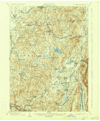
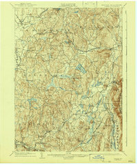
1904 Map of Copake
USGS Topo · Published 1904About this map
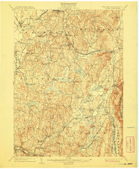
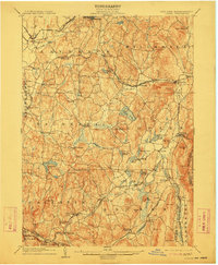
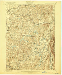
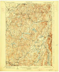
Ancram Leadmines and Copake Ironworks highlight the industrial character of eastern Columbia County during the early twentieth century. This area is defined by the winding course of the Roeliff Jansen Kill and its various tributaries, which powered early industry at sites like Spaulding Furnace and New Forge. A complex web of rail transportation is evident, with the New York Central and Hudson River R.R. Harlem Division and the Central New England R.R. intersecting at Boston Corners. Smaller hamlets like Pumpkin Hollow, Glenco Mills, and Silvernails are connected by a dense network of country roads. The topography transitions from the valley of Taghkanic Creek in the west to the higher elevations of the Taconic Range along the Massachusetts border, featuring prominent peaks such as Alander Mt. and Washburn Mt. near the boundary line.
Find a feature on this map
74 named features on this map. Tap any name to fly to it.
Don’t see what you’re looking for? This feature index may not catch every label — zoom into the map to look around manually.
Map Details
Editions of this 1904 Copake Map
7 editions found
Other maps of this area

1885 · Sheffield
USGS Topo · 1:62,500

1888 · Sheffield
USGS Topo · 1:62,500

1888 · Pittsfield
USGS Topo · 1:62,500

1890 · Pittsfield
USGS Topo · 1:62,500

1891 · Sheffield
USGS Topo · 1:62,500

1892 · Cornwall
USGS Topo · 1:62,500

1893 · Coxsackie
USGS Topo · 1:62,500

1893 · Sheffield
USGS Topo · 1:62,500

1893 · Pittsfield
USGS Topo · 1:62,500

1893 · Cornwall
USGS Topo · 1:62,500