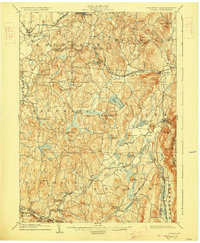
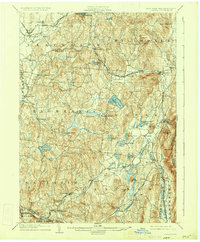
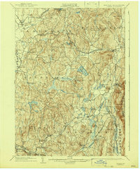
1904 Map of Copake
USGS Topo · Published 1927About this map
Ancram Leadmines and Weed Mines anchor the southeastern corner of this study, highlighting a landscape defined by its mineral wealth and industrial heritage at the start of the twentieth century. The eastern border serves as a triple junction of New York, Massachusetts, and Connecticut, with the Harlem Division of the New York Central and Hudson River Railroad cutting a vital path through the hills near Copake Ironworks. The interior is dotted with significant hamlets such as Gallatinville and Hollowville, while larger centers like Philmont and Hillsdale appear as established hubs connected by the Boston and Albany R.R. and several other lines. The topography is defined by the Roeliff Jansen Kill winding through valleys flanked by peaks like Washburn Mt. and Alander Mt., illustrating the intricate relationship between the region's steep hydrology and its rail-driven economy.
Find a feature on this map
75 named features on this map. Tap any name to fly to it.
Don’t see what you’re looking for? This feature index may not catch every label — zoom into the map to look around manually.
Map Details
Editions of this 1904 Copake Map
7 editions found

Other maps of this area

1885 · Sheffield
USGS Topo · 1:62,500

1888 · Sheffield
USGS Topo · 1:62,500

1888 · Pittsfield
USGS Topo · 1:62,500

1890 · Pittsfield
USGS Topo · 1:62,500

1891 · Sheffield
USGS Topo · 1:62,500

1892 · Cornwall
USGS Topo · 1:62,500

1893 · Coxsackie
USGS Topo · 1:62,500

1893 · Sheffield
USGS Topo · 1:62,500

1893 · Pittsfield
USGS Topo · 1:62,500

1893 · Cornwall
USGS Topo · 1:62,500