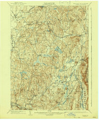
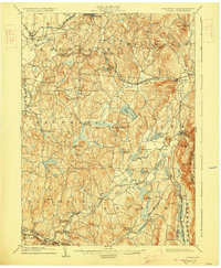
1904 Map of Copake
USGS Topo · Published 1943About this map
Ancram Leadmines and Weed Mines anchor the eastern industrial corridor of this 1902 survey, illustrating the mining and smelting legacy of Columbia County. The landscape is defined by a dense network of watercourses and early rail lines, including the Harlem Division and the Central New England RR, which served localized hubs like Copake Ironworks and Spaulding Furnace.
Find a feature on this map
71 named features on this map. Tap any name to fly to it.
Don’t see what you’re looking for? This feature index may not catch every label — zoom into the map to look around manually.
Map Details
Editions of this 1904 Copake Map
7 editions found

Other maps of this area

1885 · Sheffield
USGS Topo · 1:62,500

1888 · Sheffield
USGS Topo · 1:62,500

1888 · Pittsfield
USGS Topo · 1:62,500

1890 · Pittsfield
USGS Topo · 1:62,500

1891 · Sheffield
USGS Topo · 1:62,500

1892 · Cornwall
USGS Topo · 1:62,500

1893 · Coxsackie
USGS Topo · 1:62,500

1893 · Sheffield
USGS Topo · 1:62,500

1893 · Pittsfield
USGS Topo · 1:62,500

1893 · Cornwall
USGS Topo · 1:62,500