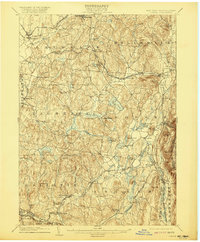
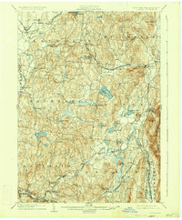
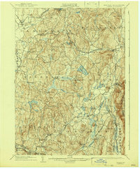
1904 Map of Copake
USGS Topo · Published 1921About this map
Industrial and agricultural life in eastern Columbia County at the turn of the century is defined by the valley of the Roeliff Jansen Kill and the iron-rich ridges of the Taconic range. The landscape is a network of early milling and mining sites, notably Copake Ironworks and the Weed Mines near the Massachusetts border. Further south, the map identifies Ancram Leadmines and Spaulding Furnace, indicating the region's significant role in early mineral extraction and processing.
Find a feature on this map
72 named features on this map. Tap any name to fly to it.
Don’t see what you’re looking for? This feature index may not catch every label — zoom into the map to look around manually.
Map Details
Editions of this 1904 Copake Map
7 editions found

Other maps of this area

1885 · Sheffield
USGS Topo · 1:62,500

1888 · Sheffield
USGS Topo · 1:62,500

1888 · Pittsfield
USGS Topo · 1:62,500

1890 · Pittsfield
USGS Topo · 1:62,500

1891 · Sheffield
USGS Topo · 1:62,500

1892 · Cornwall
USGS Topo · 1:62,500

1893 · Coxsackie
USGS Topo · 1:62,500

1893 · Sheffield
USGS Topo · 1:62,500

1893 · Pittsfield
USGS Topo · 1:62,500

1893 · Cornwall
USGS Topo · 1:62,500