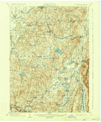
1904 Map of Copake
USGS Topo · Published 1934About this map
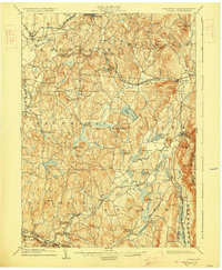
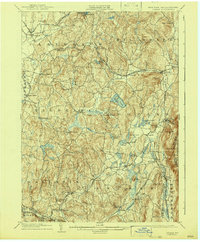
Roeliff Jansen Kill winds through a landscape defined by turn-of-the-century industry and iron production. This survey reveals a high concentration of mineral extraction and processing sites, including the Copake Ironworks and Weed Mines in the east, and the Ancram Leadmines and Spaulding Furnace to the south. The settlement pattern is anchored by rail corridors, notably the New York Central and Hudson River R. R. Harlem Division and the Central New England R. R. Rhinebeck Branch, which connect rural hamlets like Gallatinville and Craryville. The topography transitions from the lower valley floor near Claverack to the prominent eastern heights of Alander Mt. along the Massachusetts border. Large water bodies such as Copake Lake and Charlotte Lake stand out as central landmarks within their respective townships, illustrating the distribution of natural resources that once supported the local agriculture and mining economy.
Find a feature on this map
70 named features on this map. Tap any name to fly to it.
Don’t see what you’re looking for? This feature index may not catch every label — zoom into the map to look around manually.
Map Details
Editions of this 1904 Copake Map
7 editions found

Other maps of this area

1885 · Sheffield
USGS Topo · 1:62,500

1888 · Sheffield
USGS Topo · 1:62,500

1888 · Pittsfield
USGS Topo · 1:62,500

1890 · Pittsfield
USGS Topo · 1:62,500

1891 · Sheffield
USGS Topo · 1:62,500

1892 · Cornwall
USGS Topo · 1:62,500

1893 · Coxsackie
USGS Topo · 1:62,500

1893 · Sheffield
USGS Topo · 1:62,500

1893 · Pittsfield
USGS Topo · 1:62,500

1893 · Cornwall
USGS Topo · 1:62,500