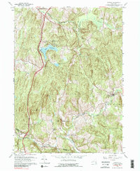
1960 Map of Ancram
USGS Topo · Published 1989About this map
Lake Taghkanic and the surrounding Taghkanic Lake State Park dominate the northern portion of this Columbia County landscape as it appeared in 1960. The Taconic State Parkway cuts a modern path through the rolling hills, bypassing established hamlets like West Taghkanic and Ancram. To the south, the Roeliff Jansen Kill winds through the towns of Gallatin and Ancram, serving as a historical focal point for early industry and settlement near Gallatinville and Silvernails.
Find a feature on this map
35 named features on this map. Tap any name to fly to it.
Don’t see what you’re looking for? This feature index may not catch every label — zoom into the map to look around manually.
Map Details
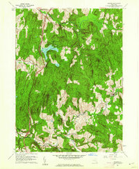
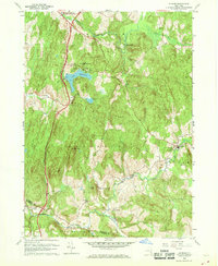
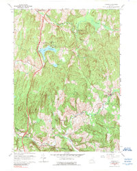
Editions of this 1960 Ancram Map
4 editions found
Other maps of this area

1895 · Catskill
USGS Topo · 1:62,500

1898 · Rhinebeck
USGS Topo · 1:62,500

1899 · Millbrook
USGS Topo · 1:62,500

1902 · Millbrook
USGS Topo · 1:62,500

1902 · Copake
USGS Topo · 1:62,500

1904 · Copake
USGS Topo · 1:62,500

1934 · Rhinebeck
USGS Topo · 1:48,000

1934 · Catskill
USGS Topo · 1:62,500

1938 · Catskill
USGS Topo · 1:62,500

1939 · Rhinebeck
USGS Topo · 1:62,500