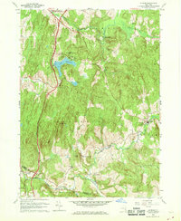
1960 Map of Ancram
USGS Topo · Published 1969About this map
Lake Taghkanic State Park and the central corridor of the Taconic State Parkway dominate this mid-century topographic survey of Columbia County. The landscape is defined by the winding course of the Roeliff Jansen Kill and its tributaries, which supported early industrial hamlets like Spaulding Furnace and Silvernails. The map reveals a rural transition period where traditional agricultural landmarks, such as Sch No 4 and Sch No 10, sit alongside modern infrastructure like the lakeside Parking Areas and a power Substation.
Find a feature on this map
39 named features on this map. Tap any name to fly to it.
Don’t see what you’re looking for? This feature index may not catch every label — zoom into the map to look around manually.
Map Details
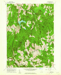
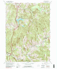
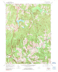
Editions of this 1960 Ancram Map
4 editions found
Other maps of this area

1895 · Catskill
USGS Topo · 1:62,500

1898 · Rhinebeck
USGS Topo · 1:62,500

1899 · Millbrook
USGS Topo · 1:62,500

1902 · Millbrook
USGS Topo · 1:62,500

1902 · Copake
USGS Topo · 1:62,500

1904 · Copake
USGS Topo · 1:62,500

1934 · Rhinebeck
USGS Topo · 1:48,000

1934 · Catskill
USGS Topo · 1:62,500

1938 · Catskill
USGS Topo · 1:62,500

1939 · Rhinebeck
USGS Topo · 1:62,500