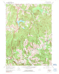
1960 Map of Ancram
USGS Topo · Published 1989About this map
Ancram and the surrounding Columbia County hills are defined by the winding course of the Roeliff Jansen Kill, which flows past established rural centers like Gallatinville and Silvernails. The landscape transitions from the recreational waters of Lake Taghkanic State Park in the north to the historic agrarian and early industrial sites of the southern townlands. Local heritage is evident in the presence of Spaulding Furnace and the old district school system, with landmarks such as Sch No 4 and Sch No 10 marking the intersections of 19th-century community life. The eastern portion of the survey captures the village of Ancram itself, where St Johns Ch and the Ancram Old Cem provide essential touchstones for genealogical research. Wooded heights like Signal Rock and Snake Hill overlook a network of valley roads that follow the ancient paths of Taghkanic Creek and Shekomeko Creek.
Find a feature on this map
29 named features on this map. Tap any name to fly to it.
Don’t see what you’re looking for? This feature index may not catch every label — zoom into the map to look around manually.
Map Details
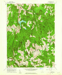
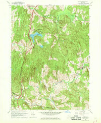
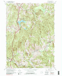
Editions of this 1960 Ancram Map
4 editions found
Other maps of this area

1895 · Catskill
USGS Topo · 1:62,500

1898 · Rhinebeck
USGS Topo · 1:62,500

1899 · Millbrook
USGS Topo · 1:62,500

1902 · Millbrook
USGS Topo · 1:62,500

1902 · Copake
USGS Topo · 1:62,500

1904 · Copake
USGS Topo · 1:62,500

1934 · Rhinebeck
USGS Topo · 1:48,000

1934 · Catskill
USGS Topo · 1:62,500

1938 · Catskill
USGS Topo · 1:62,500

1939 · Rhinebeck
USGS Topo · 1:62,500