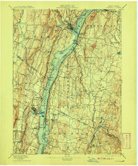
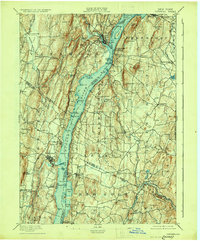
1895 Map of Catskill
USGS Topo · Published 1908About this map
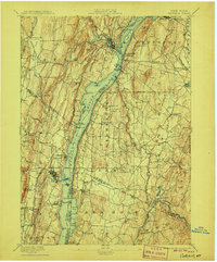
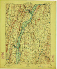
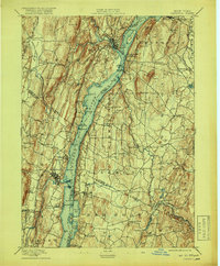
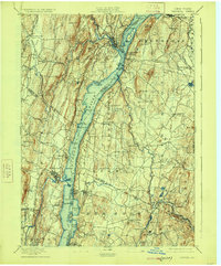
The Hudson River serves as the central artery for this late nineteenth-century landscape, dividing the riverfront economies of Greene, Columbia, Ulster, and Dutchess counties. The map captures a high-water mark for river-to-rail industrial activity, notably at Burden Dock and Oak Hill Landing. Major rail networks flank the water, with the West Shore R.R. on the west bank and the New York Central and Hudson River R.R. on the east, supporting local centers like Catskill and Saugerties.
Find a feature on this map
110 named features on this map. Tap any name to fly to it.
Don’t see what you’re looking for? This feature index may not catch every label — zoom into the map to look around manually.
Map Details
Editions of this 1895 Catskill Map
10 editions found
Other maps of this area

1892 · Kaaterskill
USGS Topo · 1:62,500

1893 · Kaaterskill
USGS Topo · 1:62,500

1893 · Coxsackie
USGS Topo · 1:62,500

1893 · Durham
USGS Topo · 1:62,500

1894 · Coxsackie
USGS Topo · 1:62,500

1894 · Kaaterskill
USGS Topo · 1:62,500

1894 · Durham
USGS Topo · 1:62,500

1895 · Catskill
USGS Topo · 1:62,500

1898 · Rhinebeck
USGS Topo · 1:62,500

1899 · Kaaterskill
USGS Topo · 1:62,500