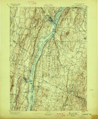
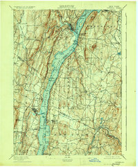
1895 Map of Catskill
USGS Topo · Published 1897About this map
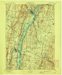
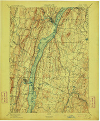
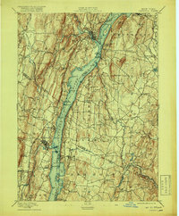
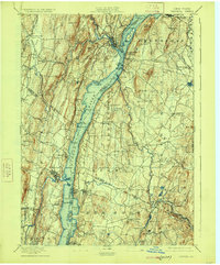
Hudson River commerce and the late 19th-century rail network define this landscape of Columbia and Ulster counties. The New York Central and Hudson River R. R. and West Shore R. R. flank the river, connecting riverside communities like Saugerties and Germantown to regional markets. The topography is dotted with family-named landmarks and smaller settlements such as Katsbaan, Quarryville, and Upper Red Hook, which reflect the area's agricultural and industrial roots during this era of growth. Further inland, the complex hydrology of Catskill Creek, Kaaterskill Creek, and the Roeliff Jansen Kill suggests a landscape tied to water power and transportation. Notable landmarks like Mount Merino and Mount Marion provide fixed points for understanding the early surveying and settlement patterns of the Hudson Valley.
Find a feature on this map
101 named features on this map. Tap any name to fly to it.
Don’t see what you’re looking for? This feature index may not catch every label — zoom into the map to look around manually.
Map Details
Editions of this 1895 Catskill Map
10 editions found
Other maps of this area

1892 · Kaaterskill
USGS Topo · 1:62,500

1893 · Kaaterskill
USGS Topo · 1:62,500

1893 · Coxsackie
USGS Topo · 1:62,500

1893 · Durham
USGS Topo · 1:62,500

1894 · Coxsackie
USGS Topo · 1:62,500

1894 · Kaaterskill
USGS Topo · 1:62,500

1894 · Durham
USGS Topo · 1:62,500

1895 · Catskill
USGS Topo · 1:62,500

1898 · Rhinebeck
USGS Topo · 1:62,500

1899 · Kaaterskill
USGS Topo · 1:62,500