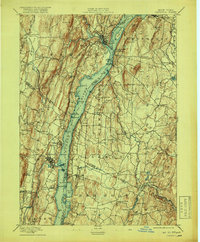
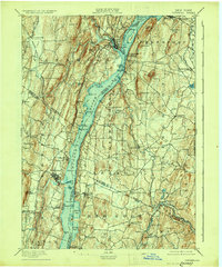
1895 Map of Catskill
USGS Topo · Published 1919About this map
The Hudson River serves as the central artery for this late-19th-century landscape, where industrial activity and river transport define the riverbanks. Riverside operations at Belfast Mills and Quarry Hill sit opposite maritime hubs like Burdetts Dock and Oak Hill Landing, illustrating an era of heavy raw material movement. The western shore is punctuated by established settlements like Saugerties and West Camp, while the eastern shore features the prominent Greendale Catskill Station P.O..
Find a feature on this map
106 named features on this map. Tap any name to fly to it.
Don’t see what you’re looking for? This feature index may not catch every label — zoom into the map to look around manually.
Map Details
Editions of this 1895 Catskill Map
10 editions found
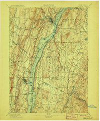
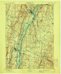
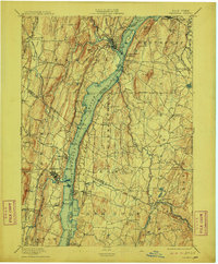
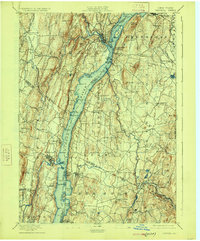
Other maps of this area

1892 · Kaaterskill
USGS Topo · 1:62,500

1893 · Kaaterskill
USGS Topo · 1:62,500

1893 · Coxsackie
USGS Topo · 1:62,500

1893 · Durham
USGS Topo · 1:62,500

1894 · Coxsackie
USGS Topo · 1:62,500

1894 · Kaaterskill
USGS Topo · 1:62,500

1894 · Durham
USGS Topo · 1:62,500

1895 · Catskill
USGS Topo · 1:62,500

1898 · Rhinebeck
USGS Topo · 1:62,500

1899 · Kaaterskill
USGS Topo · 1:62,500