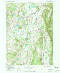
1953 Map of Copake
USGS Topo · Published 1984About this map
Roeliff Jansen Kill and Bashbish Brook wind through this mid-century landscape of the Taconic region, defining the valley floor where small hamlets and agricultural hubs developed. The rail-and-river economy of the era is evident in the path of the New York Central railroad, which links settlements like Boston Corner and Whitehouse Crossing along the valley’s eastern edge. To the west, the landscape is punctuated by numerous glacial ponds, including Upper Rhoda Pond and Chrysler Pond, while the eastern border rises sharply toward the heights of Washburn Mountain and Alander Mtn along the Massachusetts line.
Find a feature on this map
40 named features on this map. Tap any name to fly to it.
Don’t see what you’re looking for? This feature index may not catch every label — zoom into the map to look around manually.
Map Details
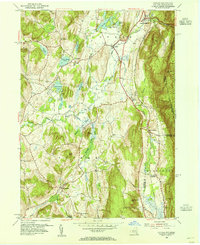
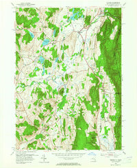
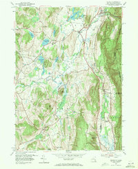
Editions of this 1953 Copake Map
4 editions found
Other maps of this area

1885 · Sheffield
USGS Topo · 1:62,500

1888 · Sheffield
USGS Topo · 1:62,500

1891 · Sheffield
USGS Topo · 1:62,500

1892 · Cornwall
USGS Topo · 1:62,500

1893 · Sheffield
USGS Topo · 1:62,500

1893 · Cornwall
USGS Topo · 1:62,500

1897 · Sheffield
USGS Topo · 1:62,500

1899 · Housatonic
USGS Topo · 1:125,000

1899 · Millbrook
USGS Topo · 1:62,500

1900 · Housatonic
USGS Topo · 1:125,000