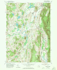
1953 Map of Copake
USGS Topo · Published 1971About this map
The Roeliff Jansen Kill and its tributaries carve a complex drainage pattern through this section of the Taconic region, defining the landscape around Copake. This mid-century survey captures the industrial and agricultural character of the valley before late-century shifts, notably marking the Weed Mines near the base of the hills. The New York Central railroad corridor serves as a primary north-south artery, connecting the scattered hamlets of Boston Corner and Whitehouse Crossing.
Find a feature on this map
41 named features on this map. Tap any name to fly to it.
Don’t see what you’re looking for? This feature index may not catch every label — zoom into the map to look around manually.
Map Details
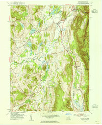
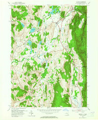
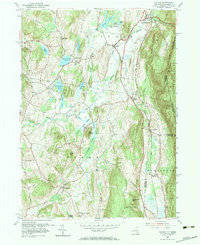
Editions of this 1953 Copake Map
4 editions found
Other maps of this area

1885 · Sheffield
USGS Topo · 1:62,500

1888 · Sheffield
USGS Topo · 1:62,500

1891 · Sheffield
USGS Topo · 1:62,500

1892 · Cornwall
USGS Topo · 1:62,500

1893 · Sheffield
USGS Topo · 1:62,500

1893 · Cornwall
USGS Topo · 1:62,500

1897 · Sheffield
USGS Topo · 1:62,500

1899 · Housatonic
USGS Topo · 1:125,000

1899 · Millbrook
USGS Topo · 1:62,500

1900 · Housatonic
USGS Topo · 1:125,000