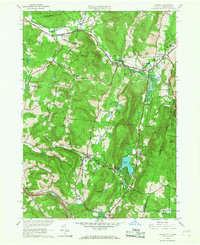
1959 Map of Canaan
USGS Topo · Published 1968About this map
Queechy Lake and the surrounding valley communities of the New Lebanon and Canaan area are captured here at a moment of transition during the late 1950s. The landscape is defined by the winding paths of Kinderhook Creek and Wyomanock Creek, which historically supported the valley's settlement. Local history is deeply embedded in the map's labels, from the educational legacy of the Mt Lebanon Darrow Sch to the recreational draw of the Lebanon Valley Speedway. Evidence of earlier transport networks remains visible in the Old Railroad Grade north of West Lebanon. The map also traces the modern influence of the New York State Thruway (Berkshire Section) cutting across the southern terrain near Flatbrook, contrasting with older thoroughfares like School House Road and Hand Hollow Road.
Find a feature on this map
54 named features on this map. Tap any name to fly to it.
Don’t see what you’re looking for? This feature index may not catch every label — zoom into the map to look around manually.
Map Details
Editions of this 1959 Canaan Map
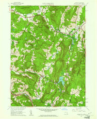
2 editions found
Other maps of this area

1888 · Berlin
USGS Topo · 1:62,500

1888 · Pittsfield
USGS Topo · 1:62,500

1890 · Pittsfield
USGS Topo · 1:62,500

1890 · Berlin
USGS Topo · 1:62,500

1893 · Troy
USGS Topo · 1:62,500

1893 · Pittsfield
USGS Topo · 1:62,500

1894 · Berlin
USGS Topo · 1:62,500

1894 · Pittsfield
USGS Topo · 1:62,500

1895 · Troy
USGS Topo · 1:62,500

1897 · Pittsfield
USGS Topo · 1:62,500