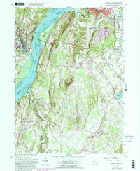
1963 Map of Hudson South
USGS Topo · Published 1981About this map
Hudson River commerce and Hudson Valley estates define this mid-century landscape where Columbia and Greene counties meet. The Hudson city center occupies the northeast, anchored by the Columbia Mem Hospital, while across the water, Catskill rises near the confluence of Catskill Creek and Dubois Creek. This 1963 survey captures a specific era of transportation and preservation, notably featuring the Rip Van Winkle Bridge connecting the two shores and the Olana Historic Site overlooking the river from its perch near Mt Merino.
Find a feature on this map
58 named features on this map. Tap any name to fly to it.
Don’t see what you’re looking for? This feature index may not catch every label — zoom into the map to look around manually.
Map Details
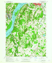
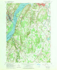
Editions of this 1963 Hudson South Map
3 editions found
Other maps of this area

1893 · Coxsackie
USGS Topo · 1:62,500

1894 · Coxsackie
USGS Topo · 1:62,500

1895 · Catskill
USGS Topo · 1:62,500

1902 · Copake
USGS Topo · 1:62,500

1903 · Kinderhook
USGS Topo · 1:62,500

1904 · Copake
USGS Topo · 1:62,500

1929 · Coxsackie
USGS Topo · 1:62,500

1933 · Kinderhook
USGS Topo · 1:62,500

1934 · Catskill
USGS Topo · 1:62,500

1938 · Catskill
USGS Topo · 1:62,500