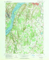
1963 Map of Hudson South
USGS Topo · Published 1970About this map
The Hudson River serves as the central artery for this 1963 survey, dividing the landscape between the riverfront developments of Hudson and Catskill. Along the eastern shore, the New York Central railroad tracks follow the water's edge, connecting industrial and maritime points such as Washburn Dock and Burden Dock. The interior terrain of Livingston and Greenport is marked by significant cultural and civic landmarks, including the Columbia Mem Hospital and the State School for Girls.
Find a feature on this map
70 named features on this map. Tap any name to fly to it.
Don’t see what you’re looking for? This feature index may not catch every label — zoom into the map to look around manually.
Map Details
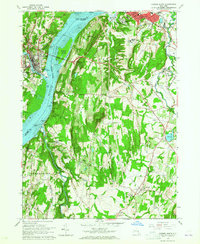
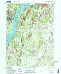
Editions of this 1963 Hudson South Map
3 editions found
Other maps of this area

1893 · Coxsackie
USGS Topo · 1:62,500

1894 · Coxsackie
USGS Topo · 1:62,500

1895 · Catskill
USGS Topo · 1:62,500

1902 · Copake
USGS Topo · 1:62,500

1903 · Kinderhook
USGS Topo · 1:62,500

1904 · Copake
USGS Topo · 1:62,500

1929 · Coxsackie
USGS Topo · 1:62,500

1933 · Kinderhook
USGS Topo · 1:62,500

1934 · Catskill
USGS Topo · 1:62,500

1938 · Catskill
USGS Topo · 1:62,500