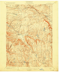
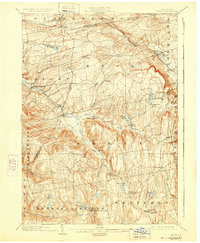
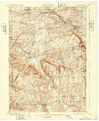
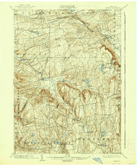
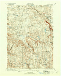
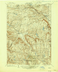
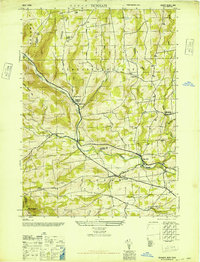
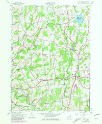
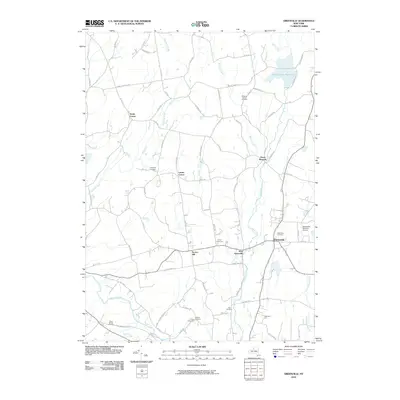
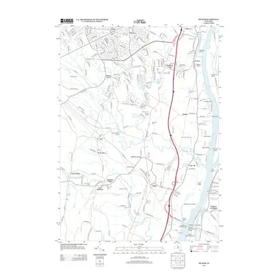
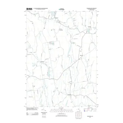
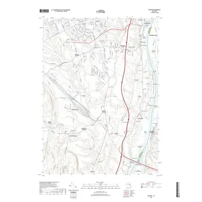
1903 Map of Berne
USGS Topo · Published 1915About this map
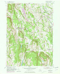
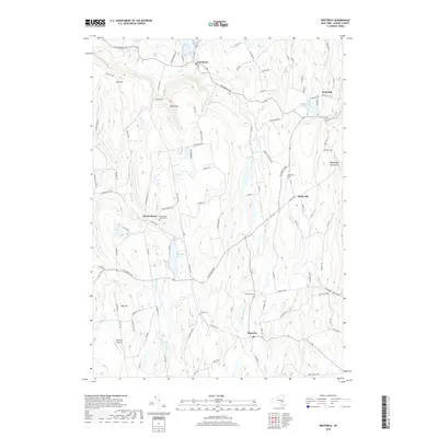
The Helderberg Plateau and the fertile valleys of the Fox Creek watershed dominate this early twentieth-century survey of western Albany County. The landscape is defined by its drainage patterns, with the Switz Kill and Beaverdam Creek cutting through the uplands to meet the larger creek systems. Settlement patterns follow these natural corridors, as seen in the linear placement of Berne, West Berne, and Gallupville. To the north, the Delaware and Hudson railroad tracks pass through Delanson and Quaker Street, connecting the region to broader industrial markets. Genealogists will find a wealth of early hamlet names, including Reidsville, South Berne, and Van Leuvans Corners, many of which were centers of rural life before the mid-century expansion of modern infrastructure. Significant water bodies like Thompsons Lake and Warner Lake suggest the area's long-standing role as a local destination for recreation and small-scale milling.
Find a feature on this map
52 named features on this map. Tap any name to fly to it.
Don’t see what you’re looking for? This feature index may not catch every label — zoom into the map to look around manually.
Map Details
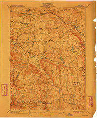
Editions of this 1903 Berne Map
8 editions found
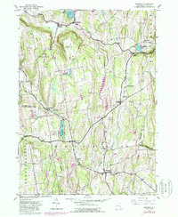
Historical Maps of Guilderland Through Time
44 maps found
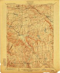
1900 Berne
Albany County, NY
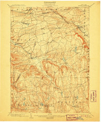
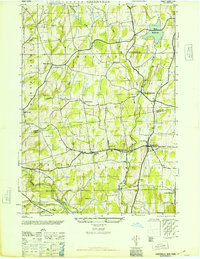
1903 Berne
Albany County, NY
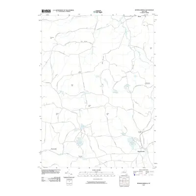
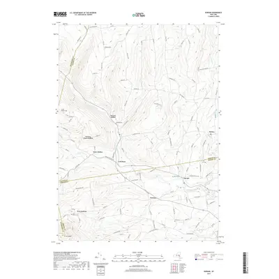
1943 Westerlo
Albany County, NY
1945 Durham
Albany County, NY
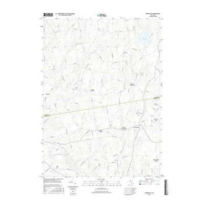
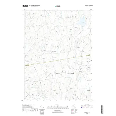
1945 Greenville
Albany County, NY
1946 Durham
Albany County, NY
1946 Greenville
Albany County, NY
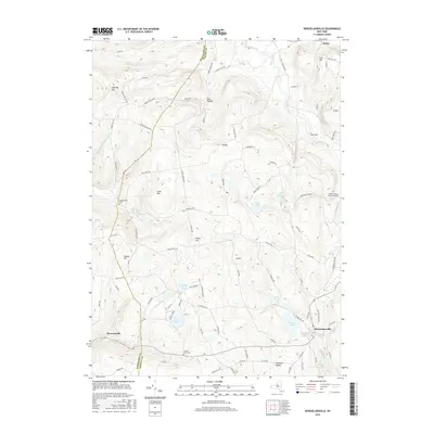
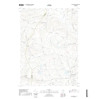
1946 Rensselaerville
Albany County, NY
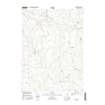
1946 Westerlo
Albany County, NY
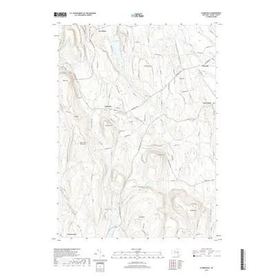
1953 Clarksville
Albany County, NY
1953 Delmar
Albany County, NY
1967 Durham
Albany County, NY
1978 Delmar
Albany County, NY
1980 Greenville
Albany County, NY
2010 Clarksville
Albany County, NY
2010 Delmar
Albany County, NY
2010 Durham
Albany County, NY
2010 Greenville
Albany County, NY
2010 Rensselaerville
Albany County, NY
2010 Westerlo
Albany County, NY
2013 Clarksville
Albany County, NY
2013 Delmar
Albany County, NY
2013 Durham
Albany County, NY
2013 Greenville
Albany County, NY
2013 Rensselaerville
Albany County, NY
2013 Westerlo
Albany County, NY
2016 Clarksville
Albany County, NY
2016 Delmar
Albany County, NY
2016 Durham
Albany County, NY
2016 Greenville
Albany County, NY
2016 Rensselaerville
Albany County, NY
2016 Westerlo
Albany County, NY
2019 Clarksville
Albany County, NY
2019 Delmar
Albany County, NY
2019 Durham
Albany County, NY
2019 Greenville
Albany County, NY
2019 Rensselaerville
Albany County, NY
2019 Westerlo
Albany County, NY

2023 Clarksville
Albany County, NY

2023 Delmar
Albany County, NY

2023 Durham
Albany County, NY

2023 Greenville
Albany County, NY

2023 Rensselaerville
Albany County, NY

2023 Westerlo
Albany County, NY